
Places near here
Photo credits
- National Inventory of Architectural Heritage
- JPK Fencing Systems Ltd; individual photographer not stated, jpk.ie
- Maker not stated on source page, www.irelandhighlights.com
- Golfing in Ireland; photographer not stated, Source publisher
- Maker not stated on source page, commons.wikimedia.org
- andrew mcmillan, Wikimedia Commons · CC BY 3.0
- Jonathan Wilkins, Geograph · CC BY-SA 2.0
- Marathon, Geograph · CC BY-SA 2.0
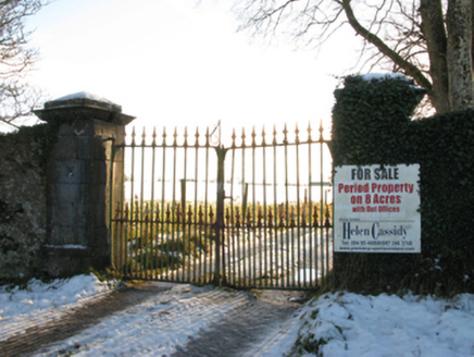 Annefield HouseGates/railings/walls · 792 yd
Explorer Tom Annefield House gates in County Mayo hear everything through their walls, including the neighbors arguing about whose…
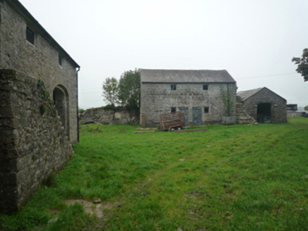 BushfieldFarmyard complex · 1137 yd
Explorer Tom Bushfield is a farmyard complex that looks like it’s been left alone to develop its own unique personality, and…
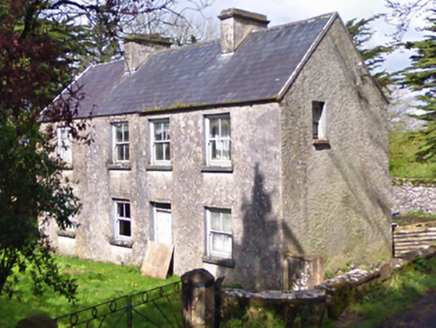 farm house1.3 mi
Explorer Tom Farm house in Lecarrow is a dishevelled little thing that was reconstructed in the early twentieth century but still…
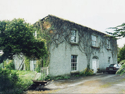 GreaghansFarm house · 1.4 mi
Explorer Tom Grealghans farmhouse is currently judging your driving skills based on how close you park to its scenic views. The…
 Garrymore GAA PitchGAA ground · 1.9 mi
 Fairy fort / earthen ringfort in ArdourFairy fort / earthen ringfort · 4.0 mi
Explorer Tom Fairy fort / earthen ringfort in Ardour has been quarried out at the north and southeast, so it’s half gone. The most…
 Ballinrobe Golf ClubGolf course · 4.4 mi
 Fairy fort / earthen ringfort in Ardour,kilshanvyFairy fort / earthen ringfort · 4.5 mi
Explorer Tom Fairy fort / earthen ringfort in Ardour, Kilshanvy is quadrangular, which makes it feel like it’s trying too hard to be…
 Graveyard in KillaguileGraveyard · 19 mi
Explorer Tom Graveyard in Killaguile is run by a dog who thinks he’s the local council and barks at every shadow he sees. He’s got…
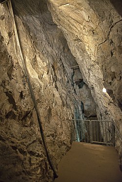 Glengowla MinesHeritage attraction · 20 mi
Explorer Tom At Glengowla Mines you swap Connemara's big sky for a hard hat and head into the workings beneath it, where original…
 Leaca DonnaMountain / peak · 24 mi
Explorer Tom Leaca Donna has false summits because its builder was a lazy architect who got tired halfway up the slope. Stand back…
 Screebe WaterfallWaterfall · 25 mi
Explorer Tom Screebe Waterfall would totally ace a reality show by screaming louder than anyone else and refusing to share the…
More archaeology and monuments in County Mayo · All of County Mayo

What do you know about this place?Tap to add a comment or ask a question