
What is recorded here
From the National Monuments Service (Archaeological Survey of Ireland) record CO097-022
Places near here
Photo credits
- Maker not stated on source page, it.pinterest.com
- National Inventory of Architectural Heritage
- Ralph Rawlinson, Geograph · CC BY-SA 2.0
- Maker not stated on source page, www.dreamstime.com
- Kmcnamee, Wikimedia Commons · CC BY-SA 4.0
- Maker not stated on source page, www.castlepedia.org
- Maker not stated on source page, www.lonelyplanet.com
- Rob Hodgkins, Wikimedia Commons · CC BY-SA 2.0
- Maker not stated on source page, irelandsholywells.blogspot.com
 Fairy fort / earthen ringfort in Gortnaclogh (muskerry East By.)Fairy fort / earthen ringfort · 951 yd
Explorer Tom Fairy fort / earthen ringfort in Gortnaclogh is getting overgrown and hiding its secrets. The bank is low on one side…
 GarryardHouse · 1.1 mi
Explorer Tom Garryard is playing hard to get in Ballyheedy, keeping its historic fabric intact while everyone else slaps plastic on…
 viaduct1.2 mi
Explorer Tom Viaduct in Ballyhooleen has three big stone arches that have seen some railway action since 1847. It’s spanning a gorge…
 Rag BridgeBridge · 1.3 mi
Explorer Tom Rag Bridge in Clogheenduane is built from local bits and bobs, probably by people who were definitely not wearing hard…
 bridge1.3 mi
Explorer Tom Bridge in Coolatooder has been crossing since 1851. It spans a disused railway line now, but back then it was all steam…
 Mapped cemeteryCemetery · 1.4 mi
Explorer Tom Mapped cemetery in County Cork was designed by a mother-in-law who couldn’t stand the neighbors, so she made sure every…
 Pitch 2, BallinhassigGAA ground · 2.6 miPitch 1, BallinhassigGAA ground · 2.9 mi
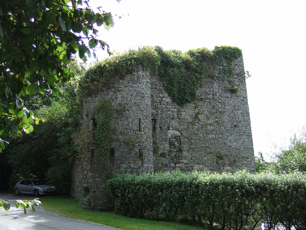 Poulnalong Castle (in Ruins)Castle, tower house · 4.1 mi
Explorer Tom Poulnalong Castle in Ship-Pool is perched on a steep bank above the Bandon River. It has a circular turret at the…
 CastleCastle, unclassified · 5.2 mi
Explorer Tom Kilmacsimon Castle smells like old secrets and damp grass, according to me, which is probably accurate given that…
 Manx2 Flight 7100Aviation accident · 5.3 mi
Explorer Tom Manx2 Flight 7100 is doing a bit of aerial limbo over County Cork. Someone bet a pint it would land on a farmer's roof…
 Holy well in Lisnacrilla,mullendunnyHoly well · 5.4 mi
Explorer Tom Holy well in Lisnacrilla was known as Tobar Muine back in the 1940s, but now its precise location is nowhere to be…
More archaeology and monuments in County Cork · All of County Cork

What do you know about this place?Tap to add a comment or ask a question