What is recorded here
Reenroe holds a semicircular earthwork eighteen metres long and eight metres wide, bounded by a road at one edge and a standing stone at the other. The earthwork faces southeast, where a low scarp rises fifteen centimetres above the pasture. It is not a complete circle, but an open chamber, as if someone had cut a room out of the landscape and left the roof removed. The missing half may have been a doorway, a boundary or a mistake. What remains is enough to show that the land was shaped before it was forgotten.
In pasture, possible standing stone (CO132-024---) to SE. Semicircular area (18mNE-SW; 8m NW-SE), defined by scarp (H 1.5m) to SE; road at NW limit.
The above description is derived from the published 'Archaeological Inventory of County Cork. Volume 1: West Cork' (Dublin: Stationery Office, 1992). In certain instances the entries have been revised and updated in the light of recent research.
Date of upload/revision: 14 January 2009
The monument record does not grant public access. Check the route and ask the landowner before entering private land.
- What survives
- Recorded monument
Places near here
 Mound in Reenroe (carbery West (e.d) By.)Mound · 131 yd
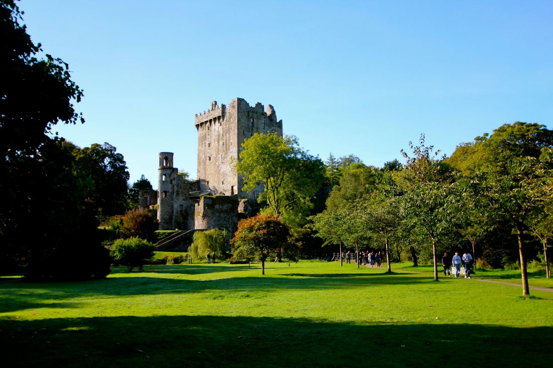 Structure in Reenroe (carbery West (e.d) By.)Structure · 268 yd
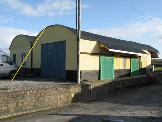 railway stationrailway station · 1466 yd
 gate lodgegate lodge · 1570 yd
 Lissangle Castle (Site of)Castle, unclassified · 1.6 mi
 Ballyourane Castle (in Ruins)Castle, unclassified · 2.4 mi
 Moyny Bridge WalkWalking route · 2.6 mi
 Drimoleague Heritage Loop WalkWalking route · 2.8 mi
 Mount KidMountain / peak · 4.8 mi
 Francis O'Neill PlaqueMemorial · 5.5 mi
 Milane HillMountain / peak · 5.8 mi
 Monterey CypressMonterey Cypress · 6.5 mi