What is recorded here
In low lying, partially reclaimed wetland, c. 200m N of Awbeg River. Depicted as hachured circular raised area (diam. c. 10m) on 1842 OS 6-inch map. Two low earthen oval mounds survive, separated by muddy cattle path. More westerly mound (H 0.6m; 19.5m E-W; 12.8m N-S) covered in bushes; easterly mound (H 0.6m; 17.5m E-W; 11.5m N-S) grass-covered. Area shown as 'liable to floods' on 1906 OS 6-inch map.
The above description is derived from the published 'Archaeological Inventory of County Cork. Volume 4: North Cork' (Dublin: Stationery Office, 2000). In certain instances the entries have been revised and updated in the light of recent research.
Date of upload/revision: 14 January 2009
The monument record does not grant public access. Check the route and ask the landowner before entering private land.
- What survives
- Recorded monument
Places near here
 Mound in RathclareMound · 548 yd
 Buttevant Rail DisasterMemorial · 598 yd
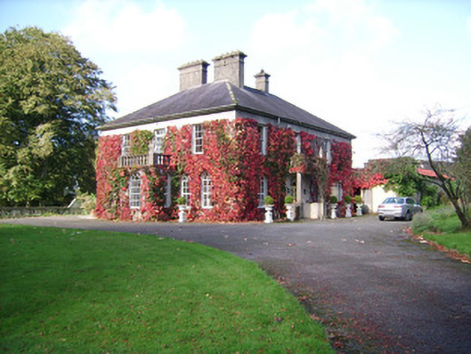 Rathclare Househouse · 599 yd
 IndicatedEnclosure · 630 yd
 store/warehousestore/warehouse · 676 yd
 David HurleyMemorial · 1150 yd
 SycamoreSycamore · 1152 yd
 Lombards CastleCastle, tower house · 1585 yd
 Ballinguile Castle (in Ruins)Castle, tower house · 1.2 mi
 Rogan's Rock CovertWood · 2.0 mi
 Lady's WellSpring · 3.3 mi
 Smith's WellSpring · 3.9 mi