What is recorded here
On a NE-facing slope in undulating terrain, under pasture, in an area of uneven, hummocky ground. This monument is indicated on the 1st (1840) ed. OS 6-inch map as a roughly circular area (diam. c. 10m) but is not indicated on the 2nd (1904) edition. Two bowl-barrows (TS063-014001- and TS063-014002-) are located c. 130m and c. 80m to the NE and E respectively and a possible enclosure was identified 83m to the ESE. The field boundary indicated on the 1st and 2nd ed. 6-inch OS map running E-W S of the monument has been removed. This monument is not visible at ground level.
Compiled by: Jean Farrelly
Date of revised upload: 6 October 2014
This remains an important historical record, but the official description says the monument is no longer visible or has been destroyed. The monument record does not grant public access. Check the route and ask the landowner before entering private land.
- What survives
- No visible remains or recorded as destroyed
Places near here
 Enclosure in NewtowndranganEnclosure · 91 yd
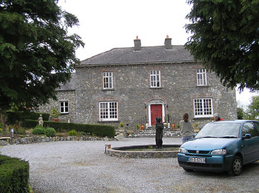 Temple Viewhouse · 91 yd
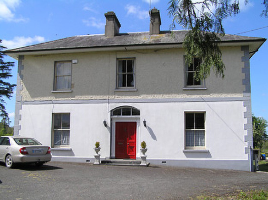 presbytery/parochial/curate's housepresbytery/parochial/curate's house · 516 yd
 (Site of) Drangan CastleCastle, unclassified · 1145 yd
 RathkennyEnclosure, large enclosure · 1364 yd
 Knockuragh HillMountain / peak · 1.2 mi
 CastleCastle, ringwork and bailey · 1.6 mi
 Eagle HillMountain / peak · 2.5 mi
 Fenane WoodForest · 3.3 mi
 Silver FirSilver Fir · 3.4 mi
 East GateMemorial · 5.3 mi
 Derrynaflan TrailHeritage attraction · 8.1 mi