What is recorded here
Murneen South holds a forgotten castle complex where linear banks and ditches once enclosed large rectilinear areas beside Murneen castle. Knox recorded these extensive earthworks in the early 1900s, but modern roads and reclamation have erased much of the outline. What remains is a damp, rush-grown pasture where ghost lines still show in the soil, inviting imagination to complete what time has taken.
In an expanse of lowlying, rush-grown, damp pasture surrounding Murneen castle (MA0091-017001). A modern NNW−SSE road extends through the earthworks.
In the early years of the 20th century, Knox (1913-14, 200-202) recorded extensive ‘earthworks’ to W, S and SW of the castle (MA001-017001-) and possible bailey (MA091-017004). They extended over an area of c. 250m N−S by c. 200m E−W, and consisted of linear ‘ramparts’/banks and ditches, which enclosed large rectilinear areas and a large raised triangular area. Knox interpreted the earthworks as fortifications and subsidiary enclosures associated with the castle. He noted that some of the banks had already been partly levelled and the ditches filled in. Since that time, further reclamation has taken place. When the area was inspected in 1998, low scarps and ditches could still be traced to W and N of the castle, and fragmentary remains were evident in the field to S, but full outline of the enclosures recorded by Knox could not be traced with any confidence. There was no trace of the earthworks in the present-day fields on the W side of the modern road.
Compiled by: Jane O’Shaughnessy
Date of upload: 11 February 2022
The monument record does not grant public access. Check the route and ask the landowner before entering private land.
- What survives
- Recorded monument
Places near here
 Bawn in Murneen SouthBawn · 42 yd
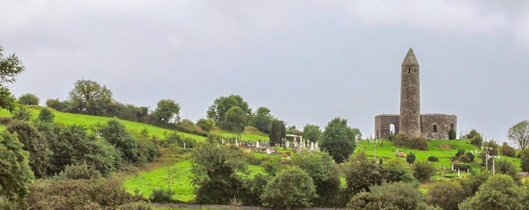 Enclosure in Murneen SouthEnclosure · 376 yd
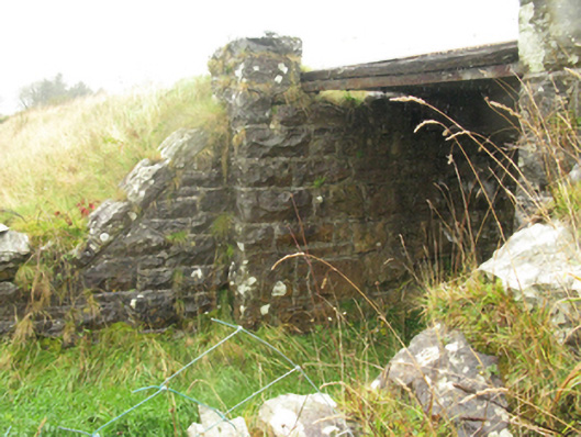 bridgebridge · 1.7 mi
 Ballybooley CastleCastle · 1.8 mi
 Ballyhowly Housefarm house · 1.8 mi
 Knock ShrineHeritage attraction · 3.0 mi
 Knock MuseumMuseum · 3.0 mi
 Carrowbeg WoodWood · 5.1 mi
 Oak WoodForest · 5.7 mi
 Mass RockNamed rock · 17 mi
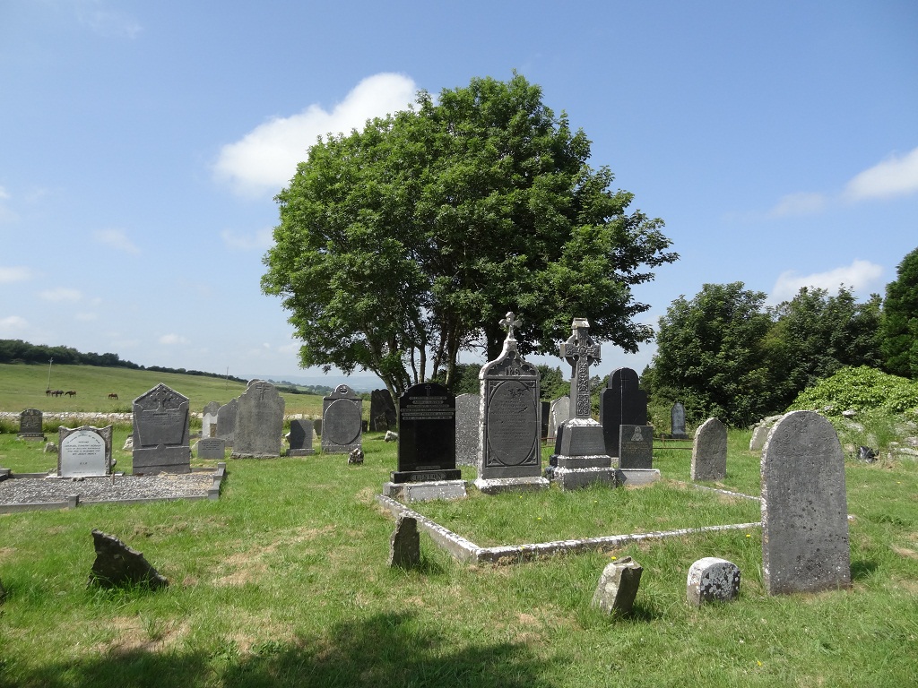 Enclosure in KilcolmanEnclosure · 1122 yd