What is recorded here
Situated on reclaimed grassland. Large irregular-shaped earthwork (approx. dims. 66m N-S x 105m E-W) bisected by a post-1700 field boundary clearly visible on Digital Globe aerial photography. Could be the remains of a large raised field associated with land drainage as there is evidence of field drains running off NE and SE angles of earthwork.
Compiled by Alison McQueen, Vera Rahilly and Caimin O’Brien.
Date of upload: 08 November 2019
The monument record does not grant public access. Check the route and ask the landowner before entering private land.
- What survives
- Recorded monument
Places near here
 CastleCastle, unclassified · 488 yd
 OutlinedEnclosure · 565 yd
 Enclosure in MoyvoughlyEnclosure · 729 yd
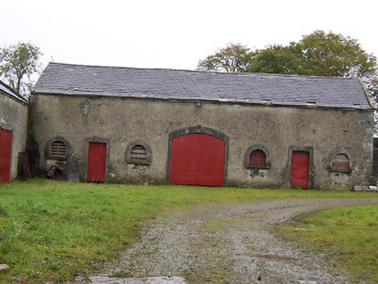 Moyvoughly Housestables · 1449 yd
 gates/railings/wallsgates/railings/walls · 1633 yd
 Site of Lissanode CastleCastle, unclassified · 2.0 mi
 Japanese pagoda treeJapanese pagoda tree · 2.2 mi
 Dún na Sí Heritage CentreMuseum · 3.5 mi
 Dún na SíMuseum · 3.5 mi
 Charles BianconiMemorial · 3.6 mi
 Moate HillMountain / peak · 3.7 mi
 Kilmalady HillMountain / peak · 6.5 mi