
What is recorded here
From the National Monuments Service (Archaeological Survey of Ireland) record CL025-104
Places near here
Photo credits
- Maker not stated on source page, www.dailymail.co.uk
- National Inventory of Architectural Heritage
- Maker not stated on source page, ru.wikipedia.org
- Odea at English Wikipedia, Wikimedia Commons · Public domain
- Maker not stated on source page, www.dreamstime.com
- Maker not stated on source page, www.pinterest.com
- JohnArmagh, Wikimedia Commons · Public domain
- Maker not stated on source page, walkingholidayireland.com
- Maker not stated on source page, www.youtube.com
- Maker not stated on source page, www.flickr.com
 Bullaun stone in MollaneenBullaun stone · 563 yd
Explorer Tom Bullaun stone in Mollaneen used to be a double bullaun at a holy well, but now it’s just a memory. It probably…
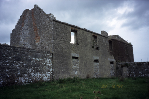 Mollaneen HouseFarm house · 603 yd
Explorer Tom Mollaneen House is a ruin that looks like it gave up on the 1700s mid-sentence. The ghost here probably just wants to…
 Church in KilleenanChurch · 790 yd
Explorer Tom Church in Killeenan would describe itself to a stranger as 'a bit of a mess, but with great potential and zero chill.'…
 O'Dea CastleCastle · 797 yd
Explorer Tom O'Dea Castle is fifteen metres of Clare family confidence set on a limestone outcrop near Corofin. Diarmaid O'Dea built…
 Inscribed stone (present location) in Dysert (inchiquin By.)Inscribed stone (present location) · 798 yd
Explorer Tom Inscribed stone in Dysert says George Stacpole built the house, but I bet he just wanted a good excuse to buy more…
 ODeas CastleCastle, tower house · 798 yd
Explorer Tom ODeas Castle is a tower house that survived some serious weather, and it wants credit for it. It definitely bragged…
 Castle WellWell · 841 yd
Explorer Tom Castle Well in Dysert is just a hole with a reputation for being deep and mysterious. It’s proud of not being a bucket.…
 Dysert Church (in ruins)Church · 875 yd
Explorer Tom Dysert Church was founded by St Tola around AD 700, which is ancient enough for my taste. A local claims to have…
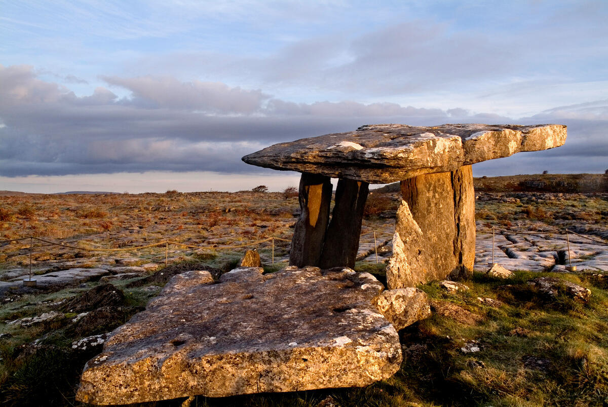 TombTomb, effigial · 884 yd
Explorer Tom Tomb in Mollaneen has a hidden treasure that is definitely a biscuit tin from 1954 buried under the church wall where…
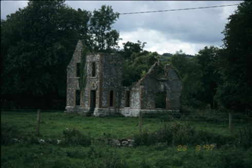 The LodgeHouse · 1021 yd
Explorer Tom The Lodge in Mollaneen is an 1861 ruin with a family tree that’s mostly made up of rumors and bad decisions. It…
 Fairy fort / earthen ringfort in RathFairy fort / earthen ringfort · 1.1 mi
Explorer Tom Fairy fort in Rath is an earthen ringfort that seems to have been waiting for Saint Patrick to come back and explain…
 Stone sculpture in RathStone sculpture · 1.3 mi
Explorer Tom Stone sculpture in Rath is keeping its mouth shut tight, which is annoying when you want to know what it did last…
More archaeology and monuments in County Clare · All of County Clare

What do you know about this place?Tap to add a comment or ask a question