What is recorded here
Situated on a slight rise of ground with fairly good views to the N. The monument has been levelled and is not visible at ground level. This possible monument is only marked in pencil on the ASI field copy of the 1912 ed. OS 6-inch map. This possible monument is not marked on any edition of the OS 6-inch maps. Uncertain if there ever was an archaeological monument at this location.
Compiled by: Caimin O'Brien
Date of upload: 08 July 2013.
The monument record does not grant public access. Check the route and ask the landowner before entering private land.
- What survives
- Recorded monument
Places near here
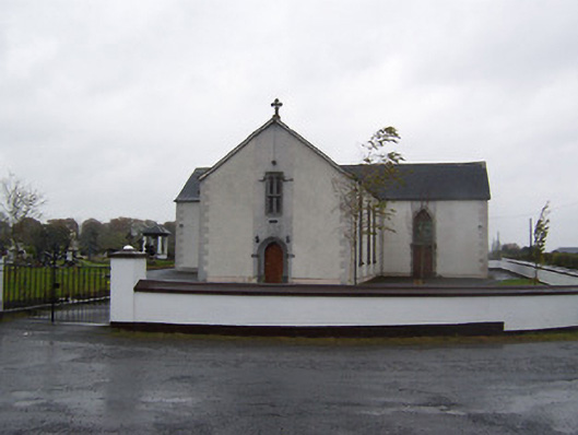 Catholic Church of the Sacred Heartchurch/chapel · 670 yd
 OutlinedEnclosure · 714 yd
 Calverstown Houseoutbuilding · 1703 yd
 Partially HachuredFairy fort / earthen ringfort · 1.1 mi
 Castlelost MoatCastle, motte and bailey · 1.6 mi
 CastleCastle, tower house · 2.0 mi
 Dysart IslandIsland · 4.0 mi
 Ash IslandIslet · 4.3 mi
 Derrygreenagh HillMountain / peak · 4.8 mi
 Ardan WoodWood · 5.2 mi
 Bonfire HillMountain / peak · 6.0 mi
 High WoodWood · 8.9 mi