What is recorded here
Situated on fairly level pasture with good views in all directions. Nearby mound (WM033-060----) located 65m to the SW. All that remains of this levelled monument is a curving stretch of a field boundary which preserves the SW section of the enclosing bank of the ringfort (diam. c. 40m N-S). Depicted as a circular enclosure with a field boundary running NW-SE across the SW quadrant on the 1837 ed. OS 6-inch map. An earlier site report from 1971 described the upstanding monument as the 'much disturbed remains of a bivallate rath with one intervening fosse. The banks and fosse are best preserved from W to N, elsewhere the perimeter has been largely removed or obscured by later banks and depressions. One of the banks crosses the site on the S side, a later bank forms a drop outside the site at E. The original entrance way is not recognisable. The site is largely overgrown with blackthorn and whitethorn' (SMR File).
Situated on fairly level pasture with good views in all directions. Nearby mound (WM033-060----) located 65m to the SW. All that remains of this levelled monument is a curving stretch of a field boundary which preserves the SW section of the enclosing bank of the ringfort (diam. c. 40m N-S). Depicted as a circular enclosure with a field boundary running NW-SE across the SW quadrant on the 1837 ed. OS 6-inch map.…
From the National Monuments Service (Archaeological Survey of Ireland) record WM033-056
The monument record does not grant public access. Check the route and ask the landowner before entering private land.
- What survives
- Recorded monument
Places near here
 Newcastle HouseHouse · 1216 yd
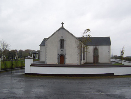 Catholic Church of the Sacred HeartChurch/chapel · 1529 yd
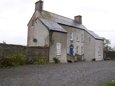 West HouseHouse · 1656 yd
 Far View HouseHouse · 1692 yd
 CastleCastle, unclassified · 1.5 mi
 Tyrrellspass CastleCastle, tower house · 1.9 mi
 Croghan HillMountain / peak · 5.0 mi
 St. Columbkilles CrossCross, High cross · 8.9 mi
 CrossCross, High cross · 9.0 mi
 Grand Canal WayWalking route · 10 mi
 European ash10 miEuropean ash10 mi
Pictures: Mike Searle, Geograph · CC BY-SA 2.0; National Inventory of Architectural Heritage; MookiePlays, Wikimedia Commons · CC BY-SA 4.0; Brian Shaw, Wikimedia Commons · CC BY-SA 2.0; Sarah777 at en.wikipedia, Wikimedia Commons · Public domain; kevin higgins, Wikimedia Commons · CC BY-SA 2.0; Dalenevada, Wikimedia Commons · CC BY-SA 4.0; JP, Geograph · CC BY-SA 2.0; Willow, Wikimedia Commons · CC BY 2.5
More archaeology and monuments in County Westmeath · All of County Westmeath
What do you know about this place?