
What is recorded here
Thirty metres of invisible ditch circle the grassland above Loughtown Lower, holding a shape so old it has forgotten its own name. The earthwork sits twenty-two metres north of the ecclesiastical enclosure and holy well, suggesting a forgotten chamber, treasury or gathering place that served the sacred site before anyone built stone walls around it. Cameras saw the faint circular outline in 2011 and 2018, but no human foot has crossed its boundary in living memory. What the chamber contained, who built it and when they stopped coming remains buried beneath the grass.
In grassland, 220m N of ecclesiastical enclosure (DU021-001001-) and holy well (DU021-001002-). Cropmark of circular shaped area (diam. c. 40m) defined by a ditch visible on OSi Bluesky orthoimage taken 2018 (https://sdublincoco.maps.arcgis.com/apps/webappviewer/). Faint outline visible on Digital Globe orthoimage taken 2011-13. Cropmark visible on Google Earth orthoimage taken 24/06/2018.
See attached Google Earth orthoimage
Compiled by: Caimin O'Brien based on details provided by Stephen Callaghan
Date of upload: 5 December 2022
The monument record does not grant public access. Check the route and ask the landowner before entering private land.
- What survives
- Recorded monument
Places near here
 Burial GroundEcclesiastical enclosure · 302 yd
 Relickan WellHoly well · 304 yd
 Grand Canal WayWalking route · 406 yd
 Old Canal HouseRuins · 565 yd
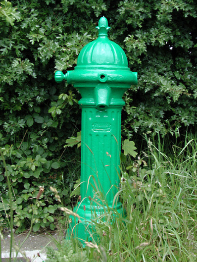 water pumpwater pump · 651 yd
 Castle (site of)Castle, unclassified · 794 yd
 European YewEuropean Yew · 1.5 mi
 CastleCastle, tower house · 1.7 mi
 Saint Wolstan'sHeritage attraction · 1.7 mi
 Saint Finian's WellSpring · 1.8 mi
 Batty Langley WoodsForest · 1.9 mi
 Arthur GuinessMemorial · 2.1 mi
Other information
Photo: Credit not shown in the picture search · Rights wording not checked; contact us if this picture should be removed