
What is recorded here
In gently undulating rough pasture with reasonable views in all directions. According to Ua Cróinín and Breen (1997, vol. 6, no. 116), the tower house (CL035-055002-) is situated on a low limestone platform. It is in a reasonable condition, however it is degraded by cattle in places, where subsurface rock is absent…
Read the whole record
From the National Monuments Service (Archaeological Survey of Ireland) record CL035-055001
Places near here
Photo credits
- Roger Diel, Geograph · CC BY-SA 2.0
- Maker not stated on source page, www.pinterest.com
- National Inventory of Architectural Heritage
- Maker not stated on source page, www.dailymail.co.uk
- Maker not stated on source page, ca.pinterest.com
- Maker not stated on source page, ru.pinterest.com
- Natasha Barton, credited by The Clare Echo, www.clareecho.ie
 Lissofin Castle (in ruins)Castle, unclassified · 9 yd
Explorer Tom Lissofin Castle would tell its younger self to stop worrying about being 'the Fort of Hugh the Fair' and just enjoy…
 Castle WellWell · 36 yd
Explorer Tom Castle Well in Lissofin is a spring that rose from limestone and then got embarrassed. A fox took charge once, but now…
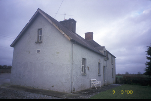 worker's house1067 yd
Explorer Tom Worker's house in Cloonteen witnessed a love story that ended with a thrown shoe, probably. It’s a private house now…
 Standing stone in Derrymore WestStanding stone · 1740 yd
Explorer Tom Standing stone in Derrymore West makes a groaning sound at night that sounds exactly like my dad when he wakes up. It’s…
 Mapped cemeteryCemetery · 1760 yd
Explorer Tom Legend has it it’s got a very famous celebrity friend who visits to get away from the paparazzi, but I suspect it’s…
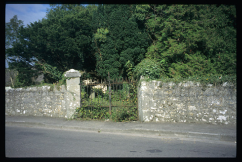 Saint Mochulla's Church (Tulla)Graveyard/cemetery · 1.0 mi
Explorer Tom Saint Mochulla's Church (Tulla) is a graveyard to a former Church of Ireland church with cut-stone grave markers from…
 Megalithic tomb in Tulla (tulla Upper By.)Megalithic tomb · 1.0 mi
Explorer Tom Megalithic tomb in Tulla gave up eating rocks for Lent because they were too heavy, so now it’s just a vague memory on…
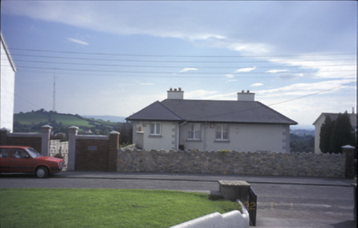 Tulla HouseHouse · 1.1 mi
Explorer Tom Tulla House might have been a presbytery, which means it’s full of secret gossip about clergy members. The dormers are…
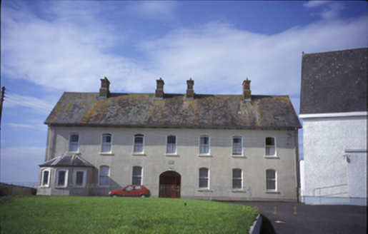 Cnoc na GaoitheConvent/nunnery · 1.1 mi
Explorer Tom Cnoc na Gaoithe, or the Windy Hill convent, claims its unlikely celebrity friend is a local ghost who just loves good…
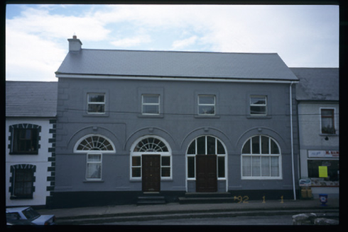 Tulla Constabulary BarrackMarket house · 1.1 mi
Explorer Tom Tulla Constabulary Barrack used to house the law but is just a house now, which feels like letting the cops keep their…
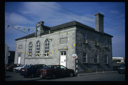 Tulla CourthouseCourt house · 1.1 mi
Explorer Tom The Tulla Courthouse has a clock that probably thinks it’s running the whole town. I bet the most dramatic thing ever…
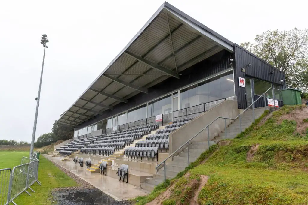 Páirc an Dalaigh, TullaGAA ground · 1.3 mi
More archaeology and monuments in County Clare · All of County Clare

What do you know about this place?Tap to add a comment or ask a question