What is recorded here
In grassland 650m E of Newtown Forbes and 3.2km E of the shoreline of Lough Forbes. Cropmark of circular shaped area (diam. c. 40m) defined by a fosse visible on Drone aerial photographs taken 19/01/2022.
See attached Drone images courtesy of Donnacha Mc Gregor.
Compiled by: Caimin O'Brien based on details provided by Donnacha Mc Gregor.
Date of upload: 21 January 2022
The monument record does not grant public access. Check the route and ask the landowner before entering private land.
- What survives
- Recorded monument
Places near here
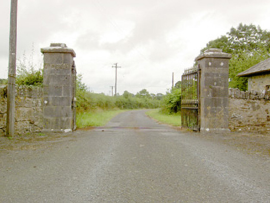 Lismoy Housegates/railings/walls · 299 yd
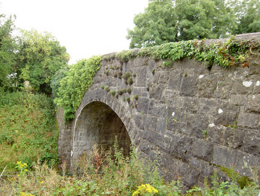 bridgebridge · 375 yd
 Common LimeCommon Lime · 1368 yd
 Pedunculate OakPedunculate Oak · 1374 yd
 CastleforbesCastle · 1.1 mi
 Bawn in Castleforbes DemesneBawn · 1.2 mi
 Enclosure in MinardEnclosure · 1.2 mi
 Enclosure in LismoreEnclosure · 1.5 mi
 Saint Mel's CathedralCathedral · 2.9 mi
 First World War MemorialMemorial · 2.9 mi
 Graveyard in Curry (ardagh By., Coolamber Ed)Graveyard · 5.3 mi
 Commons North WalkVisitor information · 9.5 mi