What is recorded here
Outline of irregular-shaped earthwork (approx. dims. 90m N-S x 110m E-W) visible on Google earth aerial imagery and Digital Globe aerial photographs.
See attached image taken from Google Earth aerial photographs taken 20/11/2005
Compiled by: Caimin O'Brien based on details provided by Jean-Charles Caillère
Date of upload: 6 March 2020
The monument record does not grant public access. Check the route and ask the landowner before entering private land.
- What survives
- Recorded monument
Places near here
 Ladestown Ho.House, fortified house · 670 yd
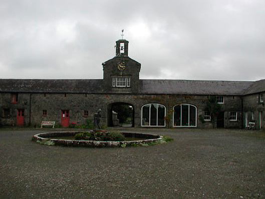 Ladestown Housestables, farmyard complex · 724 yd
 Partially hachuredFairy fort / ringfort · 844 yd
 Keoltown Housecountry house · 1317 yd
 Ash IslandIslet · 1.2 mi
 Ecclesiastical enclosure in Kilpatrick (moyashel & Magheradernon By.)Ecclesiastical enclosure · 1.2 mi
 Blind IslandIslet · 1.3 mi
 Dysart Ho. (in ruins)Castle, unclassified · 1.6 mi
 Belvedere house and gardensVisitor information · 1.6 mi
 Mollie Moo's Pet FarmHeritage attraction · 1.8 mi
 Ancient Ring FortWood · 3.5 mi
 WestmeathVisitor information · 4.2 mi