What is recorded here
Knockendrane holds a broken ring, perhaps a forgotten fort, now split by a straight stone wall and measured at fifty metres instead of sixty-five. The earthwork has lost half its shape, yet the remaining curve still suggests a place where people drew a line around their lives. What is missing has not stopped the land from remembering the circle.
The following description is derived from the published 'Archaeological Inventory of County Carlow' (Dublin: Stationery Office, 1993). In certain instances the entries have been revised and updated in the light of recent research.
Date of upload/revision: 17 July 2007
Shown on 1839 'OS 6-inch' map as circular enclosure (max. diam. c. 65m). Stone wall divides now levelled monument along line of adjacent field boundaries (present diam. indicated by stone wall, c. 50m). Possibly a ringfort site.
The monument record does not grant public access. Check the route and ask the landowner before entering private land.
- What survives
- Recorded monument
Places near here
 Enclosure in KnockendraneEnclosure · 334 yd
 Rathnageeragh Castle (in ruins)Castle, unclassified · 1243 yd
 Font in DrumfeaFont · 1395 yd
 Saint Laserian's Catholic Churchchurch/chapel · 1427 yd
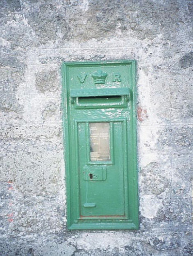 post boxpost box · 1446 yd
 SlievebawnMountain / peak · 1.2 mi
 Sessile OakSessile Oak · 2.1 mi
 CroaghaunMountain / peak · 3.0 mi
 Irish Hangliding and Paragliding AssociationMemorial · 3.1 mi
 Mount LeinsterMountain · 3.2 mi
 Ballyloughan Castle (in ruins)Castle, Anglo-Norman masonry castle · 3.2 mi
 SycamoreSycamore · 3.2 mi