What is recorded here
The following description is derived from the published 'Archaeological Inventory of County Carlow' (Dublin: Stationery Office, 1993). In certain instances the entries have been revised and updated in the light of recent research.
Date of revision: 22 December 2009
Revised by: J. Farrelly
Present remains consist of random coursed granite rubble of NE angle and adjacent walls standing to approximately full height in places. Foundations indicate rectangular structure (L 17.5m or 22m (W end obscured by eighteenth-century headstone) x Wth 6m). W splay of narrow ope close to NE corner. All quoins and ope surrounds missing. Rectangular granite font (CW020-002004-) with outlet beside corner. Children's burial ground (CW020-002002-) immediately N of graveyard (CW020-002005-), consisting of small unenclosed uncultivated rectangular area, marked by plain granite Latin cross (CW020-002003-), possibly of no great antiquity. (Comerford 1886, Vol III, 321; JRSAI 1907, 237)
The monument record does not grant public access. Check the route and ask the landowner before entering private land.
- What survives
- Recorded monument
Places near here
 Font in DrumfeaFont · 1 yd
 Saint Laserian's Catholic Churchchurch/chapel · 54 yd
 Cross in DrumfeaCross · 59 yd
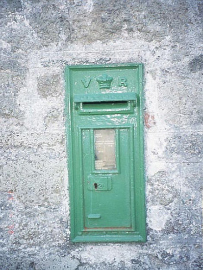 post boxpost box · 77 yd
 Rathnageeragh Castle (in ruins)Castle, unclassified · 1232 yd
 Sessile OakSessile Oak · 1.3 mi
 CastleCastle, unclassified · 1.3 mi
 SlievebawnMountain / peak · 1.9 mi
 Carrig WoodWood · 2.7 mi
 CroaghaunMountain / peak · 3.0 mi
 Irish Hangliding and Paragliding AssociationMemorial · 3.7 mi
 Mount LeinsterMountain · 3.9 mi