What is recorded here
Marked only on the 1928 ed. of the OS 6-inch map as a fragment of a bank (C c. 25m) NE-SE, and situated on a gentle NW-facing slope. It is not visible at ground level in pasture.
Compiled by: Michael Moore
Date of upload: 24 August 2010
The monument record does not grant public access. Check the route and ask the landowner before entering private land.
- What survives
- Recorded monument
Places near here
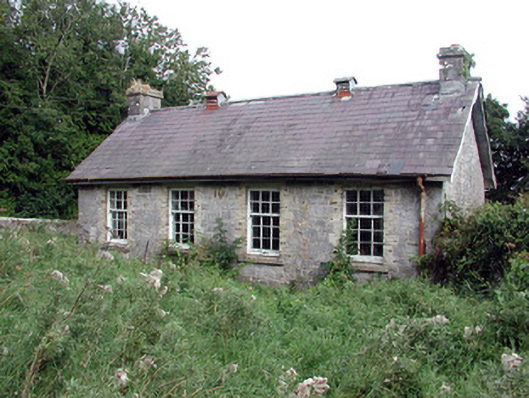 Saint Patrick's National Schoolschool · 703 yd
 IndicatedCastle, unclassified · 710 yd
 Fulacht fia in Ballygalda OR TrustFulacht fia · 935 yd
 Stone CrossCross, Wayside cross · 1565 yd
 Church (in Ruins)Church · 1.1 mi
 CastleCastle, unclassified · 1.1 mi
 Bolinree WoodForest · 1.6 mi
 European Crab AppleEuropean Crab Apple · 1.8 mi
 Roscommon CastleCastle · 3.7 mi
 Hangman's HillMountain / peak · 4.6 mi
 Sally IslandIslet · 4.8 mi
 Mount MaryMountain / peak · 7.5 mi