
What is recorded here
Towards the bottom of the W-facing slope of a hill. The limestone shaft of a cross (dims 0.2m x 0.18m; H 1.74m) with chamfered edges and a slightly expanded head (H 0.42m). One end has a mortise. The head bears an inscription commemorating Con and Maire Kelly, dated 1638 (OS Name Books), 1688 (King 1985), or 1653 (Siggins 1986b, 34).
Compiled by: Michael Moore
Date of upload: 24 August 2010
A local church or high cross; wider significance not recorded.
The monument record does not grant public access. Check the route and ask the landowner before entering private land.
- What survives
- Recorded monument
Places near here
 IndicatedFairy fort / earthen ringfort · 1112 yd
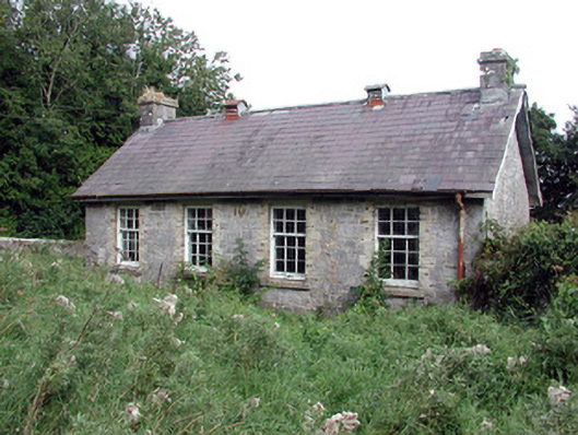 Saint Patrick's National Schoolschool · 1539 yd
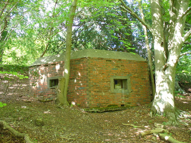 Embanked enclosureFairy fort / earthen ringfort · 1605 yd
 Church (in Ruins)Church · 1.4 mi
 European Crab AppleEuropean Crab Apple · 1.5 mi
 CastleCastle, unclassified · 1.9 mi
 TogherfinnForest · 1.9 mi
 Hangman's HillMountain / peak · 4.4 mi
 Roscommon CastleCastle · 4.5 mi
 Castle (Site of)Castle, unclassified · 4.8 mi
 Sally IslandIslet · 5.0 mi
 InchmoreIslet · 5.7 mi
Other information
Photo: Credit not shown in the picture search · Rights wording not checked; contact us if this picture should be removed