What is recorded here
Situated on W facing slope of ridge running E-W. Depicted as an earthwork on Larkin’s 1808 map (NLI, MS 46,580) of County Westmeath. No surface remains visible. Post-1700 quarry hole visible as a crop-mark on Digial Glober aerial photograph to SSW may have been the feature depicted on Larkin's map of 1808.
Compiled by: Frank Coyne and Caimin O'Brien
Date of upload: 24 April 2017
The monument record does not grant public access. Check the route and ask the landowner before entering private land.
- What survives
- Recorded monument
Places near here
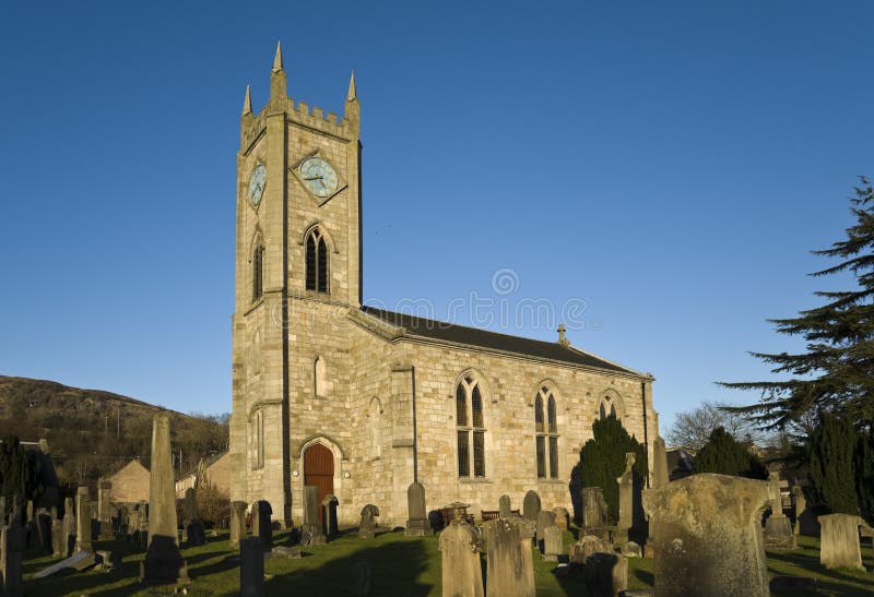 Church in Kilpatrick (fore By.)Church · 580 yd
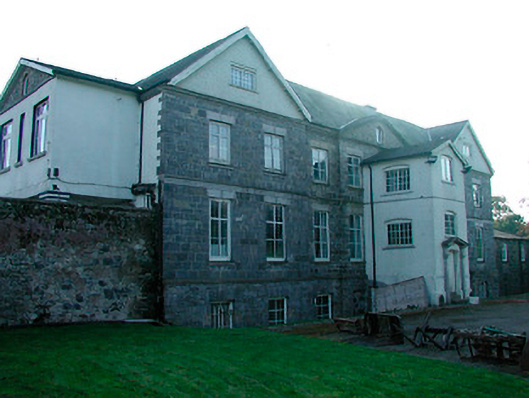 Barbavilla Housecountry house · 1340 yd
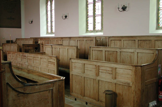 Ecclesiastical enclosure in KilcumnyEcclesiastical enclosure · 1.5 mi
 Enclosure in DerrynagarraghEnclosure · 1.7 mi
 CastleCastle, motte · 2.0 mi
 Castle IslandIslet · 2.5 mi
 Taghmon CastleCastle, tower house · 2.6 mi
 KnockeyonMountain / peak · 3.3 mi
 The FurzeForest · 3.3 mi
 South East GateHeritage attraction · 3.9 mi
 St Feichin's MillHeritage attraction · 4.1 mi
 GinkgoGinkgo · 4.2 mi