
What is recorded here
From the National Monuments Service (Archaeological Survey of Ireland) record WA025-056
Places near here
Photo credits
- Maker not stated on source page, commons.wikimedia.org
- Maker not stated on source page, www.dreamstime.com
- National Inventory of Architectural Heritage
- Maker not stated on source page, www.tripadvisor.com.sg
- Maker not stated on source page, au.pinterest.com
- Maker not stated on source page, www.pinterest.com
- Maker not stated on source page, uk.pinterest.com
- Maker not stated on source page, barnstorming.blog
- Colin Park, Geograph · CC BY-SA 2.0
- A.-K. D., Wikimedia Commons
- Veekrokki, Wikimedia Commons · Public domain
 Church in KilmurrinChurch · 687 yd
Explorer Tom Church in Kilmurrin in County Waterford would tell you secrets about the sea after three pints. It’s dedicated to…
 Graveyard in KilmurrinGraveyard · 687 yd
Explorer Tom Kilmurrin has a church dedicated to Murina, sister of St. Baramedan, which is a name that rolls off the tongue like wet…
 engine house1611 yd
Explorer Tom Engine house in Knockmahon would teach history by showing you how copper mining from 1824 to 1877 really changed lives…
 St. Mary's Church Saleen, BonmahonVisitor information · 1.2 mi
Explorer Tom St. Mary's Church Saleen, Bonmahon has a family tree that includes at least three ghosts and a very stubborn donkey…
 CastleCastle, unclassified · 1.2 mi
Explorer Tom The castle at Póna an Lady handles nosey neighbours by simply not being there when they look, which is brilliant…
 Graveyard in KilsteagueGraveyard · 1.2 mi
Explorer Tom Kilsteague has a graveyard called Reiligín that remains unlocated near a bog, which is perfect for anyone who likes…
 Stage CoveBeach / strand · 1.3 mi
Explorer Tom Stage Cove has a hidden message carved into its stones that only reveals itself during a full moon and high tide. It’s…
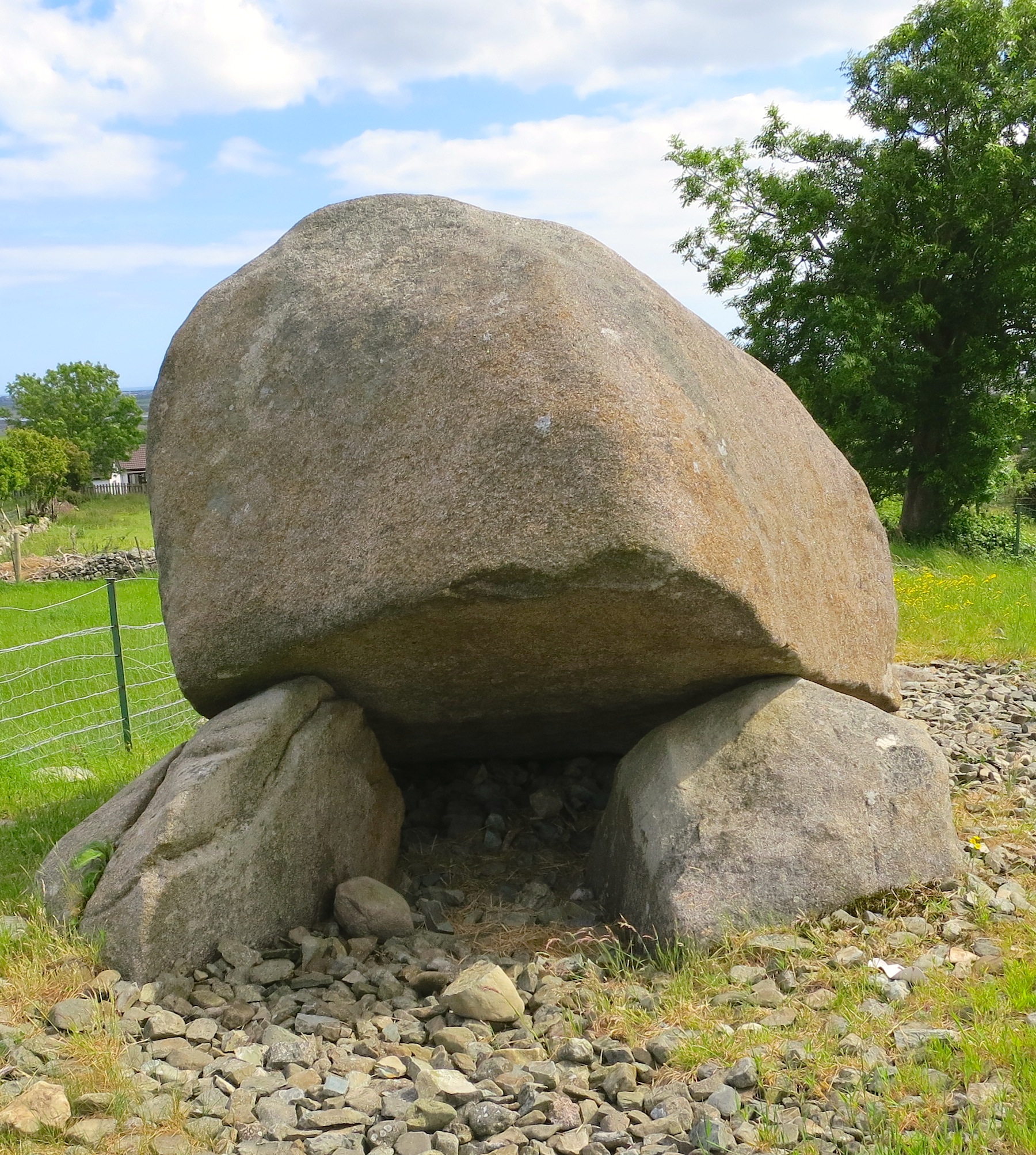 Ogham stone in Kilbeg (decies Without Drum By., Kilbarrymeadan Par.)Ogham stone · 1.3 mi
Explorer Tom Ogham stone in Kilbeg has a retirement plan that involves sitting in a museum case and looking dignified. It was found…
 Boatstrand BeachBeach / strand · 1.4 mi
Explorer Tom Boatstrand Beach shares its little Waterford inlet with a harbour and pier, so a visit can feel like finding a seaside…
 Ogham stone (present location) in BallynagiglaOgham stone (present location) · 1.5 mi
Explorer Tom Ogham stone in Ballynagigla, County Waterford has a long-standing grudge against the weather because it’s been stuck…
 Copper Coast Geopark Visitor CentreVisitor information · 1.5 mi
Explorer Tom The Copper Coast Geopark Visitor Centre in Bunmahon has a neat trick: it packs ancient volcanoes, tropical seas and…
 Copper CoastCoastal geological landscape · 1.6 mi
Explorer Tom Copper Coast claims a goat once ruled the entire coastline from its highest point. The goat is long gone now, but the…
More archaeology and monuments in County Waterford · All of County Waterford

What do you know about this place?Tap to add a comment or ask a question