What is recorded here
Killin is an empty idea now, perhaps a row of houses or a fort long vanished. The land holds no shape, no stone, no marker for the name. Forgetting completed what decay began.
The following description is derived from both the published 'Archaeological Inventory of County Louth' (Dublin: Stationery Office, 1986) and the 'Archaeological Survey of County Louth' (Dublin: Stationery Office, 1991). In certain instances the entries have been revised and updated in the light of recent research.
Date of upload/revision: 17 July 2007
Marked as 'fort' on 1835 ed. of OS 6-inch map. No visible surface trace.
The monument record does not grant public access. Check the route and ask the landowner before entering private land.
- What survives
- Recorded monument
Places near here
 IndicatedBawn · 650 yd
 Piedmont Ho. (in ruins)House, 17th century · 653 yd
 Clough PatrickRitual site, holy/saint's stone · 759 yd
 Enclosure in BenaghEnclosure · 1161 yd
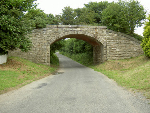 bridgebridge · 1176 yd
 SlievenagloghMountain / peak · 1296 yd
 Mount Bagnell FoerCastle, motte and bailey · 1.1 mi
 Annaloughan MountainMountain / peak · 1.4 mi
 The BushPicnic place · 2.3 mi
 Carlingford - Loop 1A- Commons LoopWalking route · 3.1 mi
 Carlingford - Slieve Foye LoopWalking route · 3.3 mi
 Cooley MountainsMountain range · 3.3 mi