What is recorded here
In grassland, holy well (LA025-032----) 195m to ENE, ringfort (LA025-033001-) and cross-slab (LA025-033003-) 160m to S. Cropmark of circular-shaped area (diam. c. 28m) visible on Google Earth photograph taken 14/07/2018.
See attached Google Earth orthoimages
Compiled by: Caimin O'Brien based on details provided by Jean-Charles Caillère
Date of upload: 10 January 2022
The monument record does not grant public access. Check the route and ask the landowner before entering private land.
- What survives
- Recorded monument
Places near here
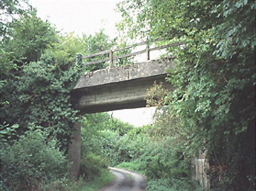 bridgebridge · 230 yd
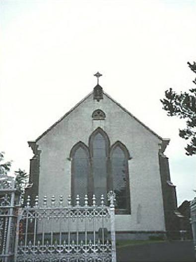 Saint Mary's Catholic Churchchurch/chapel · 1691 yd
 New Castle in ruinsCastle, unclassified · 1.7 mi
 Enclosure in LuggacurrenEnclosure · 1.9 mi
 Enclosure in Slatt LowerEnclosure · 2.0 mi
 Ballylehane CastleCastle, unclassified · 2.2 mi
 European ashEuropean ash · 4.6 mi
 Kilgorey Old BurialVisitor information · 5.3 mi
 Timahoe Church and Round TowerVisitor information · 5.3 mi
 DM PenderMemorial · 5.3 mi
 Mass Rock WalkWalking route · 6.3 mi
 Cobbler's Castle WalkWalking route · 6.4 mi