What is recorded here
In reclaimed grassland. Cropmark of roughly circular-shaped area (diam. c. 50m) defined by a ditch visible on Google Earth orthoimage taken 16/03/2021. Faint outline of monument visible on Digital Globe orthophoto taken between 2011-13. Cropmark of circular ring-ditch type features to N of earthwork. This feature may be a designed landscape feature associated with Kilcornan Lodge 180m to E rather than the remains of a prehistoric ring-ditch. The larger roughly circular shaped earthwork may be related to land reclamation of post-1700 date.
See attached Google Earth orthophoto
Compiled by: Caimin O'Brien based on details provided by Jean-Charles Caillère
Date of upload: 19 July 2022
The monument record does not grant public access. Check the route and ask the landowner before entering private land.
- What survives
- Recorded monument
Places near here
 Partially hachuredFairy fort / earthen ringfort · 1263 yd
 Enclosure in DunnamonaEnclosure · 1663 yd
 CastleCastle, motte and bailey · 1674 yd
 Church in CartroncoraghChurch · 1.2 mi
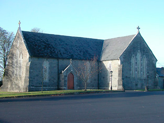 Catholic Church of the Immaculate Conceptionchurch/chapel · 1.3 mi
 Ardnagragh CastleCastle, tower house · 1.6 mi
 Noughaval CemeteryArchaeological place · 1.8 mi
 European BeechEuropean Beech · 3.3 mi
 Guest ServicesVisitor information · 4.6 mi
 Craft WorkshopHeritage attraction · 4.6 mi
 Target WoodWood · 4.7 mi
 Newcastle WoodsForest · 4.9 mi