What is recorded here
Situated on a broad low hill in an undulating landscape. There is local knowledge of the discovery in digging house foundations of deposits of black silty clay (Wth c. 1.5m; D c. 1.5m) beneath a hard-packed clay at two points.
The above description is derived from the published 'Archaeological Inventory of County Meath' (Dublin: Stationery Office, 1987). In certain instances the entries have been revised and updated in the light of recent research.
Compiled by: Michael Moore
Date of revision: 10 July 2007
The monument record does not grant public access. Check the route and ask the landowner before entering private land.
- What survives
- Recorded monument
Places near here
 GravelstownMountain / peak · 698 yd
 CastleCastle, ringwork · 809 yd
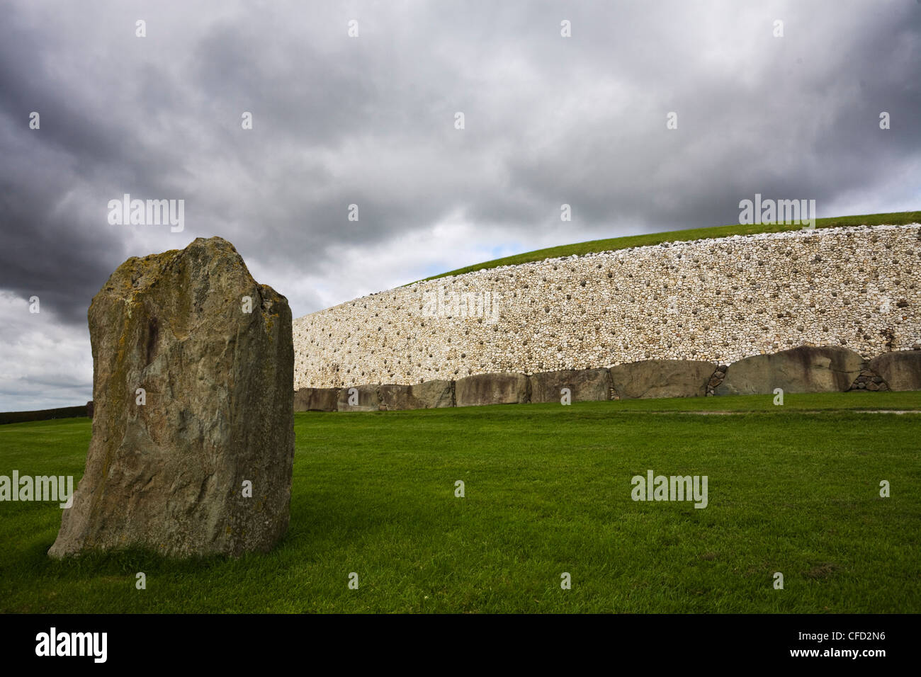 MoundArchaeological place · 842 yd
 Gravelstown CastleCastle, unclassified · 1017 yd
 Sprout WoodWood · 1021 yd
 Owenroe and Moynalty DrainageMemorial · 1.1 mi
 The GroveForest · 1.3 mi
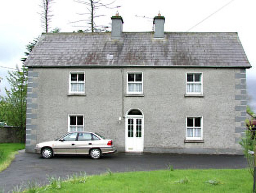 Reask Housefarm house · 1.3 mi
 Enclosure in Newtown (kells Lower By., Newtown Ed)Enclosure · 1.4 mi
 DeerparkMountain / peak · 1.4 mi
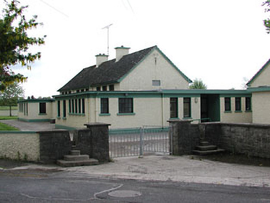 Carlanstown National Schoolschool · 1.6 mi
 John Mac MahonMemorial · 1.8 mi