What is recorded here
Kilballyowen earthwork on a gentle NW-facing slope beside the former deer park may have marked a boundary, a shrine or a forgotten farm, but the land has kept its shape while memory thinned. It sits between an enclosure and a ringfort, close enough for people to have moved between them with purpose, yet far enough from road and house to escape notice. The deer park and intermittent woodland suggest a place shaped by taste, status and time rather than open display. What is missing is not the monument but the life that stopped repeating it.
On a gentle NW-facing slope, in improved pasture which is replanted with intermittent woodland, on former deer park of Kilballyowen House and which lies 15m to W of a townland boundary with Knockainy. Enclosure (LI032-230004-) lies 80m to NE and ringfort (LI032-127----) lies 130m to SW. Not depicted on OSi historic maps, where area is under woodland cover. Monument is not visible on OSi orthoimages taken 2005-2012, or on Digital Globe orthoimages taken 2011-2013 or on Google Earth orthoimages taken 28/06/2018. Potential monument identified from examination of aerial photographs (GSIAP 538/539). The precise location of this monument cannot be confirmed without access to aerial photograph which is missing from the paper file (SMR File).
See attached Google Earth orthoimage
Compiled by: Alison McQueen and Vera
Date of upload: 9 November 2020
See attached ASI aerial photograph ASIAP - 303/26 date taken 13/09/2002.
The monument record does not grant public access. Check the route and ask the landowner before entering private land.
- What survives
- Recorded monument
Places near here
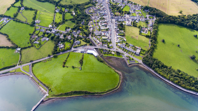 Field system in KilballyowenField system · 231 yd
 BarrowBarrow, ditch barrow · 845 yd
 KnockainyMountain / peak · 1061 yd
 Kilballyowen HouseCastle, unclassified · 1258 yd
 Old Parochial Housepresbytery/parochial/curate's house · 1520 yd
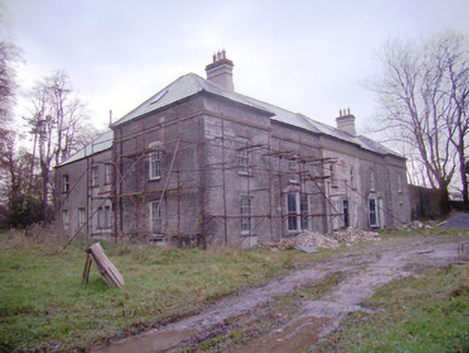 Baggotstown Housecountry house · 1649 yd
 Knockainy Castle (in ruins)Castle, tower house · 1731 yd
 Glen BogForest · 1.1 mi
 Flat cemetery in Knockainy WestFlat cemetery · 1.5 mi
 Kilteely HillMountain / peak · 4.6 mi
 St Patrick's WellSpring · 5.0 mi
 St. Patrick's WellSpring · 5.0 mi