What is recorded here
Marked only on the 1914 ed. of the OS 6-inch map as a D-shaped feature (dims c. 35m E-W; c. 40m N-S) truncated by an E-W road at N, and situated on flat ground sloping slightly to the N. Described as a possible mound (O'Riordain 1990c, 45) or enclosure (Channing 1994), archaeological testing (E000920) failed to resolve it (excavations.ie: 1989:83), and it is not visible at ground level in pasture.
Compiled by: Michael Moore
Date of upload: 24 August 2010
Amended: 14 December 2020
The monument record does not grant public access. Check the route and ask the landowner before entering private land.
- What survives
- Recorded monument
Places near here
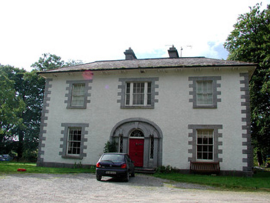 Carrigard Househouse · 183 yd
 OmdocatedFairy fort / stone ringfort · 682 yd
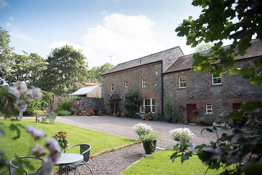 Enclosure in CarrickmoreEnclosure · 833 yd
 Kilbryan Church (in Ruins)Church · 1057 yd
 Lough Key Forest ParkWood · 1652 yd
 Erris BayBay · 1738 yd
 Western RedcedarWestern Redcedar · 1.4 mi
 Trinity IslandIslet · 1.4 mi
 Horse-chestnutHorse-chestnut · 1.4 mi
 Bingham IslandIslet · 1.4 mi
 Boyle AbbeyHeritage attraction · 1.6 mi
 King William MemorialMonument · 1.7 mi