What is recorded here
Situated in undulating pasture. Depicted on Larkin’s 1808 map of County Westmeath as an earthwork (NLI, MS 46,580). Not depicted on the 1837 ed. OS 6-inch map or the revised 1913 ed. OS 25-inch map.
Levelled monument described in 1980 as no surface remains visible. There is now a farm track running ENE-WSW, which appears to run across the centre of the levelled monument. The curve in the field fence that was depicted on the 1837 ed. OS 6-inch map and the revised 1913 ed. OS 25-inch map to N and E, has been removed to facilitate the trackway. Possible partial outline of levelled scarp of monument visible at S on Digital Globe aerial photography.
Compiled by: Alison McQueen, Vera Rahilly and Caimin O’Brien
Date of upload: 11 January 2019
This remains an important historical record, but the official description says the monument is no longer visible or has been destroyed. The monument record does not grant public access. Check the route and ask the landowner before entering private land.
- What survives
- No visible remains or recorded as destroyed
Places near here
 Partially indicatedFairy fort / earthen ringfort · 1461 yd
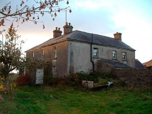 Johnstown Househouse · 1539 yd
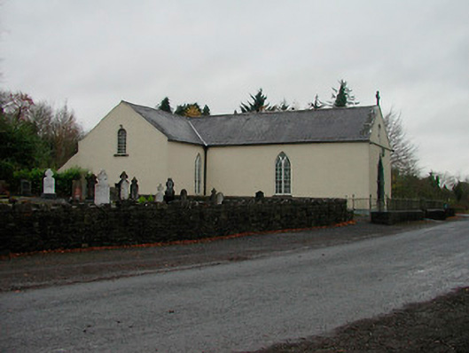 Saint Michael's Catholic Churchchurch/chapel · 1542 yd
 Partially hachuredFairy fort / earthen ringfort · 1560 yd
 Nugent's CastleCastle · 1.4 mi
 Carrickphilbin IslandIslet · 1.6 mi
 WestmeathVisitor information · 2.0 mi
 Srudarra IslandIslet · 2.2 mi
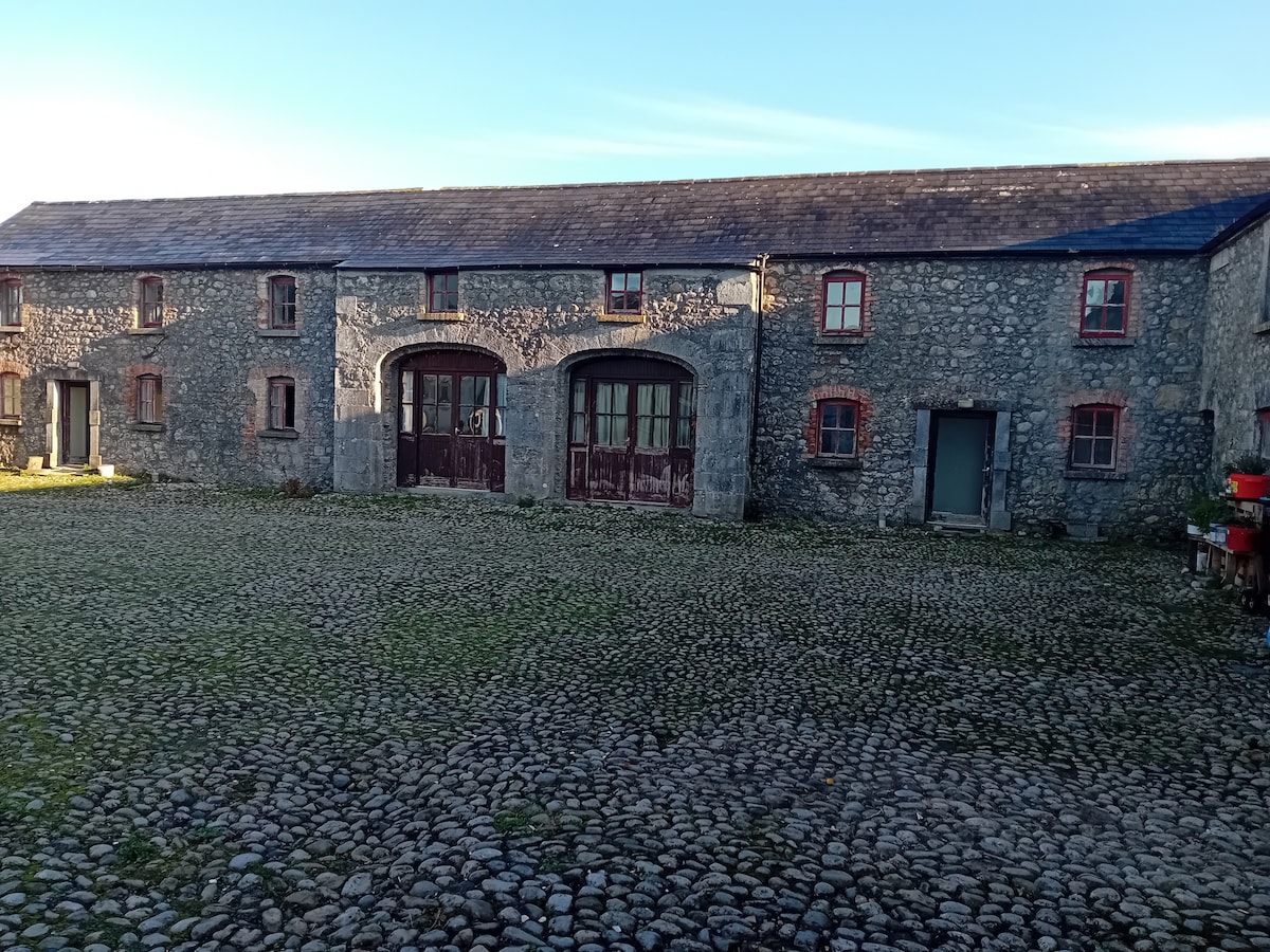 Bawn in BalleagnyBawn · 2.3 mi
 Baronstown ForestWood · 4.1 mi
 Ancient Ring FortWood · 4.2 mi
 Bridge Memorial (Kenna)Memorial · 5.1 mi