
What is recorded here
Situated in garden of modern house. Depicted on the 1837 ed. OS 6-inch map as a roughly circular-shaped earthwork within a small rectangular field, with curving townland boundary to S and public road to E. Annotated ‘fort’ on the 1837 OS Fair Plan map. On the revised 1876 OS 6-inch map the monument is depicted as a roughly circular shaped enclosure indicated with a dotted outline and annotated 'site of fort'. Monument not depicted on the revised 1913 ed. OS 25-inch map.
Described in 1983 as a semi-circular-shaped area (approx. diam. 30m) enclosed by an earthen bank (ext. H c. 1m) SE-S-SW, which is incorporated into a field fence. The remains of a bank can be traced on the N side as a low, poorly defined ridge. There is no indication of an outer fosse. Monument is visible as a partially tree-lined earthwork forming the S boundary of a modern house plot, on Digital Globe aerial photography.
Compiled by: Alison McQueen, Vera Rahilly and Caimin O’Brien
Date of upload: 11 January 2019
A local fairy fort (ringfort/rath); wider significance not recorded.
The monument record does not grant public access. Check the route and ask the landowner before entering private land.
- What survives
- Recorded monument
Places near here
 OutlinedFairy fort / earthen ringfort · 675 yd
 Lack LomanArchaeological place · 803 yd
 IndicatedCastle, motte · 958 yd
 Nugent's CastleCastle · 1056 yd
 Carrickphilbin IslandIslet · 1363 yd
 Portloman AbbeyChurch · 1585 yd
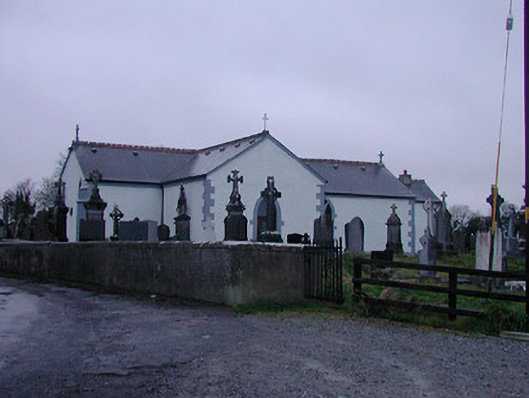 Catholic Church of the Assumptionchurch/chapel · 1.1 mi
 Srudarra IslandIslet · 1.3 mi
 WestmeathVisitor information · 2.6 mi
 Baronstown ForestWood · 4.6 mi
 Bridge Memorial (Kenna)Memorial · 4.8 mi
 Horse-chestnutHorse-chestnut · 4.8 mi
Other information
Photo: Credit not shown in the picture search · Rights wording not checked; contact us if this picture should be removed