What is recorded here
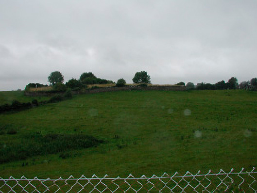
In pasture. Partial outline of circular-shaped earthwork (diam. c. 36m E-W) visible on Google Earth orthoimages.
See attached Google Earth orthophotos
Compiled by: Caimin O'Brien based on details provided by Jean-Charles Caillère
Date of upload: 29 October 2021
The monument record does not grant public access. Check the route and ask the landowner before entering private land.
- What survives
- Recorded monument
Places near here
 rails (section of)rails (section of) · 1.0 mi
 ScregganWood · 1.1 mi
 Partially indicatedFairy fort / earthen ringfort · 1.6 mi
 Church (in Ruins)Church · 1.8 mi
 OutlinedFairy fort / ringfort · 2.1 mi
 Carrantstown CastleCastle, unclassified · 3.0 mi
 MoatCastle, motte and bailey · 3.5 mi
 Abandoned Kinnegad CanalWood · 4.8 mi
 FraineMountain / peak · 6.5 mi
 Croppies' GraveMemorial · 6.7 mi
 graveyard/cemeterygraveyard/cemetery · 1.8 mi
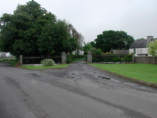 Grange More Housegates/railings/walls · 1.9 mi