What is recorded here
In pasture, on a gentle WSW-facing slope on the E side of a broad stream valley of poorly drained ground.
A small circular enclosure is marked on an estate map drawn up in 1811 for Sir Robert Lynch-Blosse (NLI Ms. 2713). It is not recorded on the 1838 and 1920 OS 6-inch maps.
The extant remains consist of a subrectangular earthen platform (16.6m NW–SE; 9m NE–SW) defined by a scarp (Wth slope 1.4m at NE, 1.4m at SW; H 0.65m at NE, 1.2m at SW). The scarp is rather slumped, particularly on the SW side and the W end of the NW side. When inspected in 1998, the SE side was incorporated into the line of a straight field fence that has since been removed. The top of the platform slopes down slightly to W. At the E corner there is a shallow depression (diam. c. 3m) abutting the field fence.
Compiled by: Jane O’Shaughnessy
Date of upload: 9 February 2022
The monument record does not grant public access. Check the route and ask the landowner before entering private land.
- What survives
- Recorded monument
Places near here
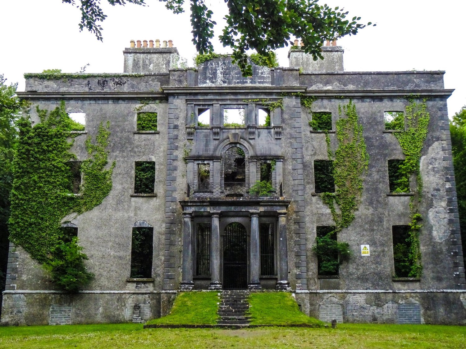 Enclosure in An Goirtín MórEnclosure · 1084 yd
 IndicatedFairy fort / earthen ringfort · 1756 yd
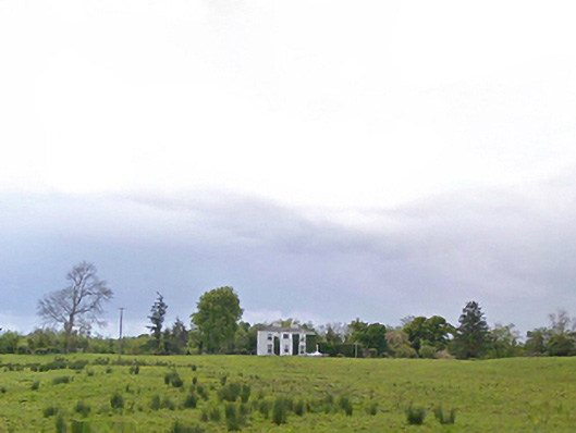 Cloonboy Housefarm house · 1.4 mi
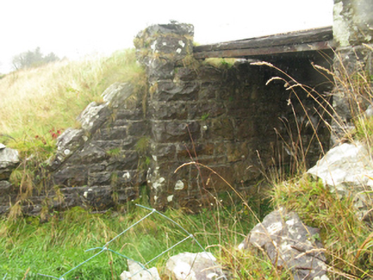 bridgebridge · 1.6 mi
 Bawn in Murneen SouthBawn · 1.8 mi
 CastleCastle, ringwork · 1.9 mi
 Land of the GiantsHeritage attraction · 4.0 mi
 Carrowbeg WoodWood · 4.5 mi
 Knock ShrineHeritage attraction · 4.7 mi
 Geoffrey's WoodForest · 6.0 mi
 Cow IslandIslet · 11 mi
 Crane IslandIslet · 11 mi