What is recorded here
Levelled monument described in 1985 by the Castleisland District Archaeological Survey as site of a levelled earthwork that was levelled c. 1935 which is visible as a slight rise of ground. Depicted as a polygonal shaped earthwork transected at E by a field boundary running N-S on Cassini ed. OSi 6-inch map. Not indicated on 1841 ed. OSi 6-inch map. No surface remains visible on Digital Globe orthoimage taken between 2011-13.
See attached Google Earth orthoimage taken 03/04/2021
Compiled by: Caimin O'Brien
Date of upload: 25 April 2022
The monument record does not grant public access. Check the route and ask the landowner before entering private land.
- What survives
- Recorded monument
Places near here
 Enclosure in GlanshearoonEnclosure · 213 yd
 Church in GlanshearoonChurch · 218 yd
 Burnt spread in GlanshearoonBurnt spread · 1012 yd
 Crag CaveCave · 1151 yd
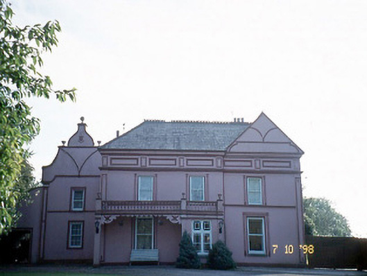 Castleview Housecharter school · 1257 yd
 Castle (in ruins)Castle, Anglo-Norman masonry castle · 1752 yd
 Ballymacadam Castle (in ruins)Castle, tower house · 1.6 mi
 SlievebrickanMountain / peak · 4.7 mi
 KnockateeMountain / peak · 4.9 mi
 PouldermotCave · 6.7 mi
 Common AlderCommon Alder · 7.8 mi
 Monument WoodWood · 8.2 mi