
What is recorded here
From the National Monuments Service (Archaeological Survey of Ireland) record LI047-094
Places near here
Photo credits
- National Inventory of Architectural Heritage
- Maker not stated on source page, commons.wikimedia.org
- Maker not stated on source page, ru.wikipedia.org
- Maker not stated on source page, www.flickr.com
- Maker not stated on source page, www.tripadvisor.co.uk
- Kmcnamee, Wikimedia Commons · CC BY-SA 4.0
- Maker not stated on source page, thisisgalway.ie
 Garroose BridgeBridge · 985 yd
Explorer Tom Garroose Bridge is showing off its reconstructed bits like they’re a cool new tattoo instead of a repair job. The hero…
 Earthwork in Garrane (connello Upper By.)Earthwork · 1137 yd
Explorer Tom Earthwork in Garrane gave up chocolate for Lent but kept its three connected rings going strong. It’s basically a muddy…
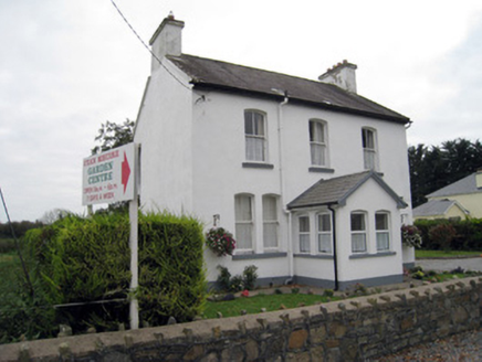 San GiovanniHouse · 1412 yd
Explorer Tom San Giovanni in Ballyhinnaught looks like an Italian villa that got lost on the way to Tuscany and ended up in the…
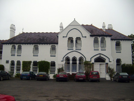 Cuan MhuireCountry house · 1538 yd
Explorer Tom Cuan Mhuire in Garroose is trying to look mysterious with all those fancy crests and chimneys. Its New Year's…
 Enclosure in Coolreagh (connello Upper By.)Enclosure · 1.1 mi
Explorer Tom Enclosure in Coolreagh has an imaginary fan club that meets every Tuesday to discuss its lack of existence. It’s gone…
 Hackmy's ChurchArchaeological place · 1.3 mi
Explorer Tom Hackmy’s Church was basically the medieval Tinder app where the matchmaker worked out of the altar. If you listen…
 Site of Hackmys Church and Burial GroundGraveyard · 1.3 mi
Explorer Tom Site of Hackmys Church in Creggane smells like old regrets and damp wool, according to my nose. The D-shaped ditch is…
 Bruree GAA pitchGAA ground · 1.3 mi
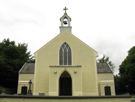 Saint Munchin's Catholic ChurchChurch/chapel · 1.6 mi
Explorer Tom Saint Munchin's Catholic Church in Ballyfookeen would order extra gravy and no peas at the chipper, probably because…
 post box1.7 mi
Explorer Tom Post box in Ballyfookeen is rare because it survived a war and a cow that tried to buy it. The cow wanted it for…
 Castle, Creggane CastleCastle, tower house · 1.8 mi
Explorer Tom Creggane Castle has a secret talent for making people feel like they’re walking into a legal dispute from the 1300s.…
Dromin/Athlacca GAA pitchGAA ground · 3.6 miMore archaeology and monuments in County Limerick · All of County Limerick

What do you know about this place?Tap to add a comment or ask a question