What is recorded here
Aerial photo (GSI N 588/9). Field tilled, no surface evidence.
The above description is derived from the published 'Archaeological Inventory of County Offaly' (Dublin: Stationery Office, 1997). In certain instances the entries have been revised and updated in the light of recent research.
Date of upload: 23 May 2011
The monument record does not grant public access. Check the route and ask the landowner before entering private land.
- What survives
- Recorded monument
Places near here
 Moat HillMountain / peak · 380 yd
 StructureStructure, peatland · 923 yd
 Fulacht fia in GarrFulacht fia · 965 yd
 Knockdrin HillMountain / peak · 1.1 mi
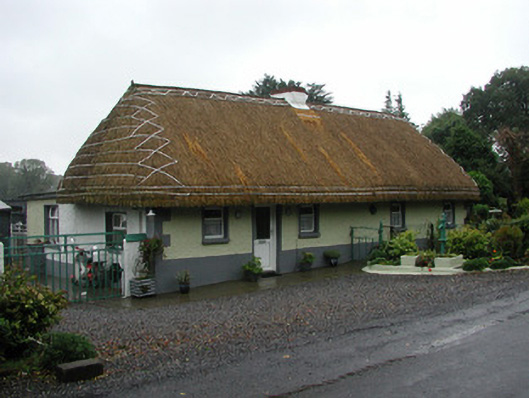 farm housefarm house · 1.5 mi
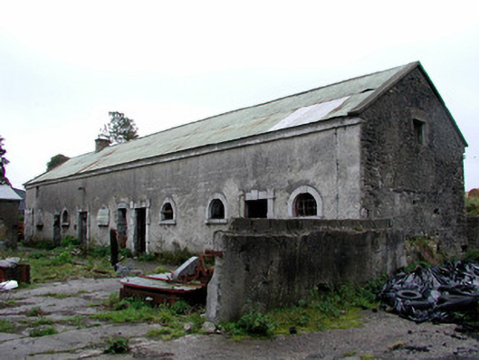 Greenhills Housestables · 1.8 mi
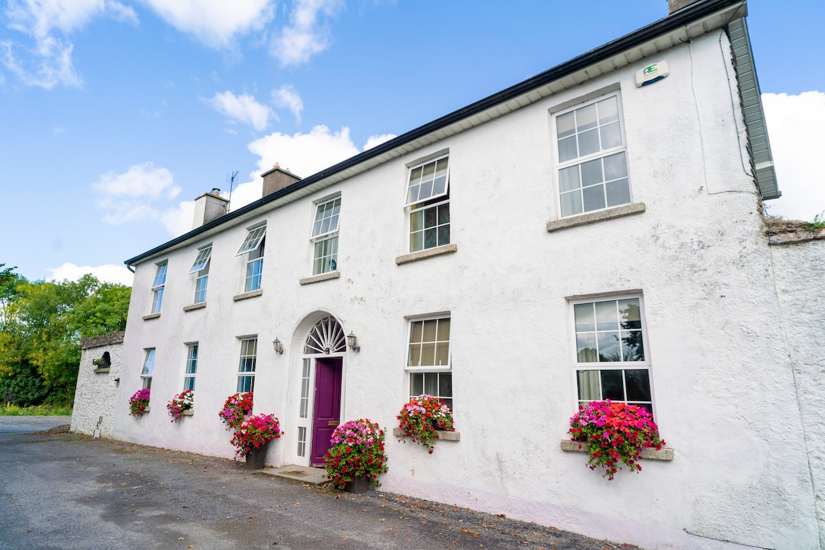 Ballyburly Ho.Castle, unclassified · 2.1 mi
 Bawn in BallyheashillBawn · 3.0 mi
 Holy PlantationForest · 3.3 mi
 Victoria PlantationWood · 3.5 mi
 Croghan HillMountain / peak · 4.2 mi
 Croghan Hill WalkVisitor information · 4.5 mi