What is recorded here
Situated on the gentle N-facing slope of a low rise overlooking wet, marshy land to the N. The field has been ploughed and planted with beet. This site was inspected in 1957 and described as a 'very low square earthen platform' c. 11m in diameter, rising c. 0.3m above the surrounding ground level and sloping gently at the exterior (OPW files, 1957). The inspector speculated that this was a modern feature, suggesting a compost heap which had never been spread and had become grassed over. There is a slight rise where the site formerly stood.
The above description is derived from 'The Archaeological Inventory of County Tipperary. Vol. 1 - North Tipperary' compiled by Jean Farrelly and Caimin O'Brien (Dublin: Stationery Office, 2002). In certain instances the entries have been revised and updated in the light of recent research.
Date of upload/revision: 22 September 2008
The monument record does not grant public access. Check the route and ask the landowner before entering private land.
- What survives
- Recorded monument
Places near here
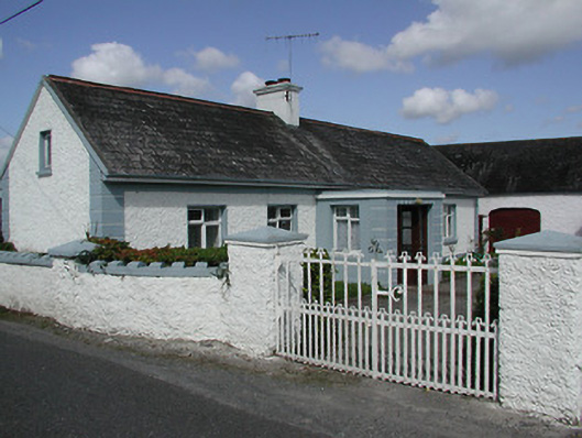 farmyard complexfarmyard complex · 805 yd
 RoadRoad, road/trackway · 965 yd
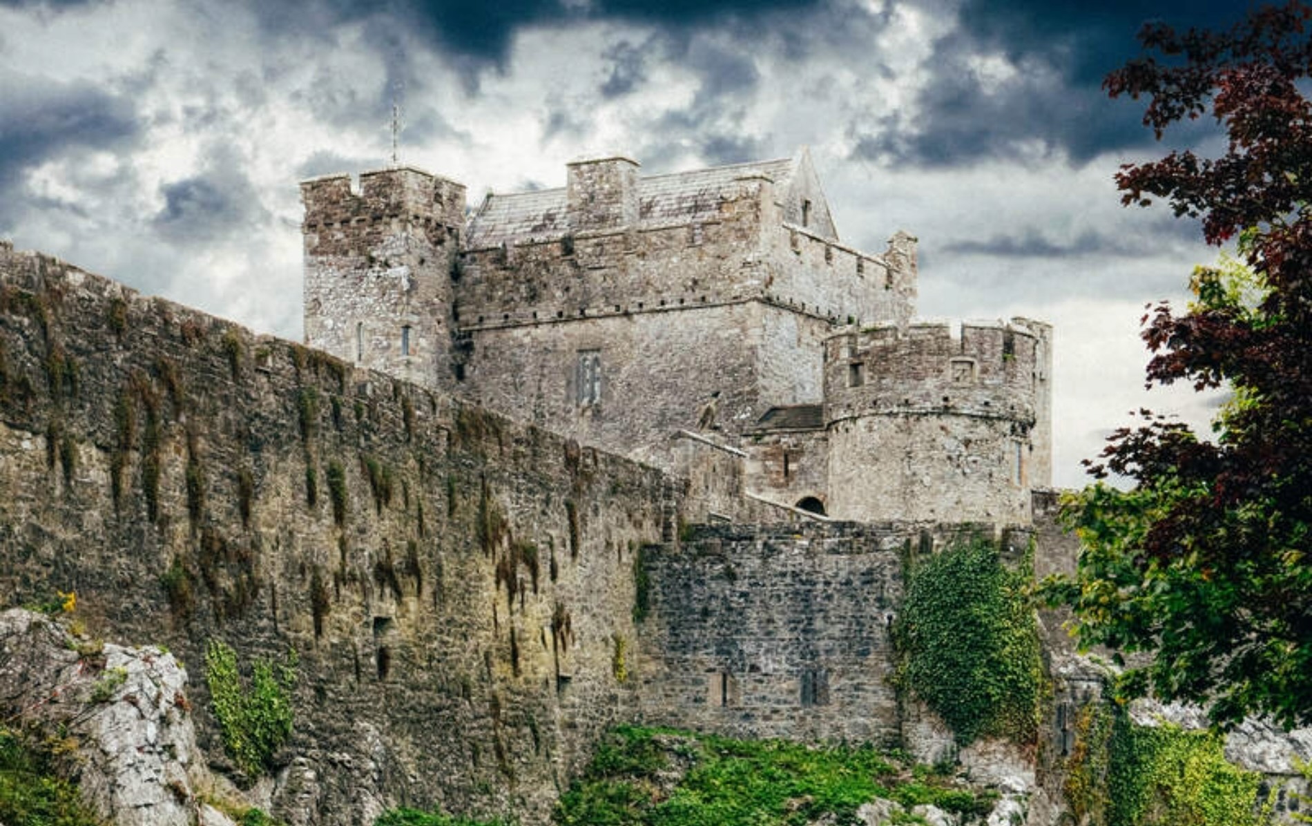 Castle (Site of)Castle, unclassified · 1013 yd
 Enclosure in CabraghEnclosure · 1282 yd
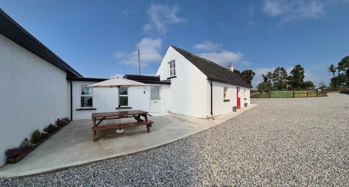 Bawn in Galbertstown LowerBawn · 1349 yd
 Enclosure in GraiguenoeEnclosure · 1379 yd
 Cormackstown Heritage CentreMuseum · 1.9 mi
 Killough Hill (site of)Mountain / peak · 2.1 mi
 Wildlife CorridorWood · 2.2 mi
 WoodlandWood · 2.6 mi
 Lár na PáirceMuseum · 3.0 mi
 Horse and JockeyVisitor information · 4.2 mi