
What is recorded here
A road running E-W across a N-S river valley. The river runs N to join the River Suir. The line of the roadway is represented by a stone wall and earthen bank with stone facing surmounted by a hedgerow in places. Presently there is a concrete road (Wth 3.5m) on the S side of a stone wall boundary. The road is slightly raised (ext. H 0.2m) on the S side, with post and wire fencing on either side and in places consists of a gravel trackway with grass in the centre. This boundary continues down to a stream, which was a fording point (TN047-102002) and like the road is indicated on Rocque's map of 1755 (A Plan of the Camp near Thurles, NLI 16.I.17 (9)), the road is also marked as 'Old Road to Cashel' on 1775 map (Ms maps of lands in the baronies of Clanwilliam, Eliogarty, Iffa and Offa, Middlethird, Ormond Upper and Lower, Co. Tipperary by John Wrigh, John Moynaham and Wlm and John Longfield and Others 1757-1834, NLI 21.F.46).
The above description is derived from 'The Archaeological Inventory of County Tipperary. Vol. 1 - North Tipperary' compiled by Jean Farrelly and Caimin O'Brien (Dublin: Stationery Office, 2002). In certain instances the entries have been revised and updated in the light of recent research.
Date of upload/revision: 22 September 2008
The monument record does not grant public access. Check the route and ask the landowner before entering private land.
- What survives
- Recorded monument
Places near here
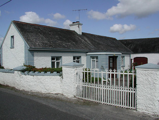 farmyard complexfarmyard complex · 280 yd
 Enclosure in CabraghEnclosure · 1002 yd
 Castle (in ruins)House, indeterminate date · 1103 yd
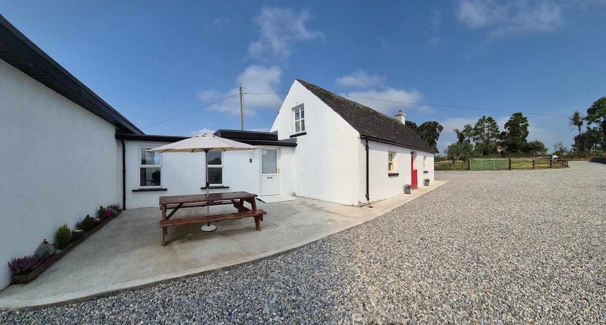 Bawn in Galbertstown LowerBawn · 1150 yd
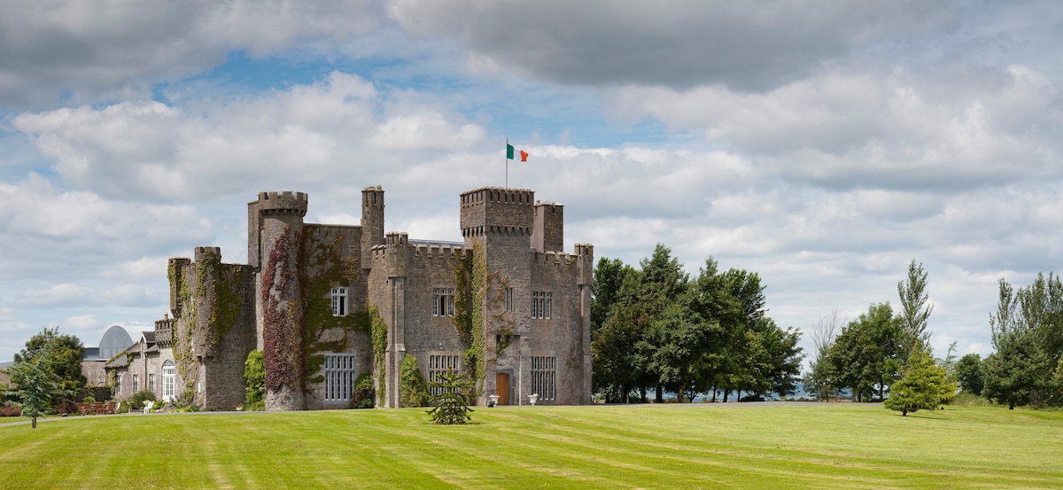 Graigue CastleCastle · 1.0 mi
 Enclosure in Turtulla (fertiana Par.)Enclosure · 1.2 mi
 Killough Hill (site of)Mountain / peak · 1.9 mi
 Wildlife CorridorWood · 2.1 mi
 Cormackstown Heritage CentreMuseum · 2.3 mi
 Byrnes's WoodsForest · 2.5 mi
 Gift Horse GalleryGallery · 2.9 mi
 Horse and JockeyVisitor information · 3.7 mi
Other information
Photo: Credit not shown in the picture search · Rights wording not checked; contact us if this picture should be removed