
What is recorded here
Situated on a W-facing slope in gently undulating terrain. According to the landowner most of the site was levelled c. 26 years ago. Only a length of the N wall (L 16m; H 1.6m; Wth 1.1m) survives with a slight base-batter on the N face (Wth 0.65m; H 0.1m). The W wall was knocked to make way for a barn which according to the landowner is as high as the former wall and stone from the wall was used to make a roadway. The landowner referred to the house as a 'mansion house'. Described in the OS Letters (1840) as a ruined building with only the W wall (Wth 28.2m; H 5.4m; T 1.1m) and part of the N wall surviving (O'Flanagan 1930, vol. 2, 193-4). The dimensions (28m x min. 16m) suggest that this was an early house rather than a 'castle' or tower house.
The above description is derived from 'The Archaeological Inventory of County Tipperary. Vol. 1 - North Tipperary' compiled by Jean Farrelly and Caimin O'Brien (Dublin: Stationery Office, 2002). In certain instances the entries have been revised and updated in the light of recent research.
Date of upload/revision: 22 September 2008
The monument record does not grant public access. Check the route and ask the landowner before entering private land.
- What survives
- Recorded monument
Places near here
 Enclosure in CabraghEnclosure · 976 yd
 Enclosure in Turtulla (fertiana Par.)Enclosure · 1095 yd
 RoadRoad, road/trackway · 1103 yd
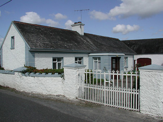 farmyard complexfarmyard complex · 1383 yd
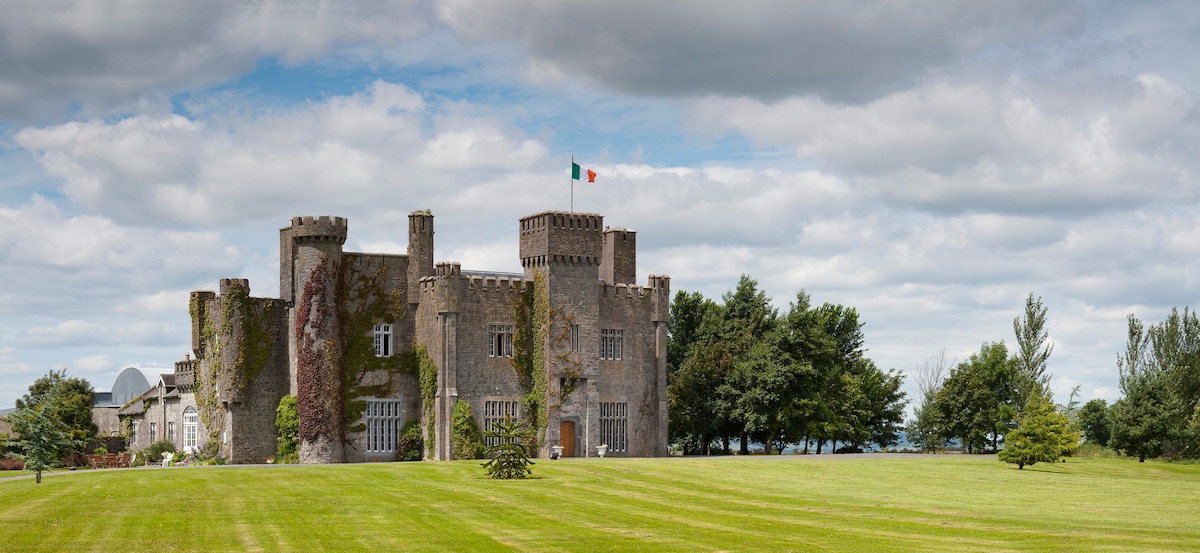 Graigue CastleCastle · 1630 yd
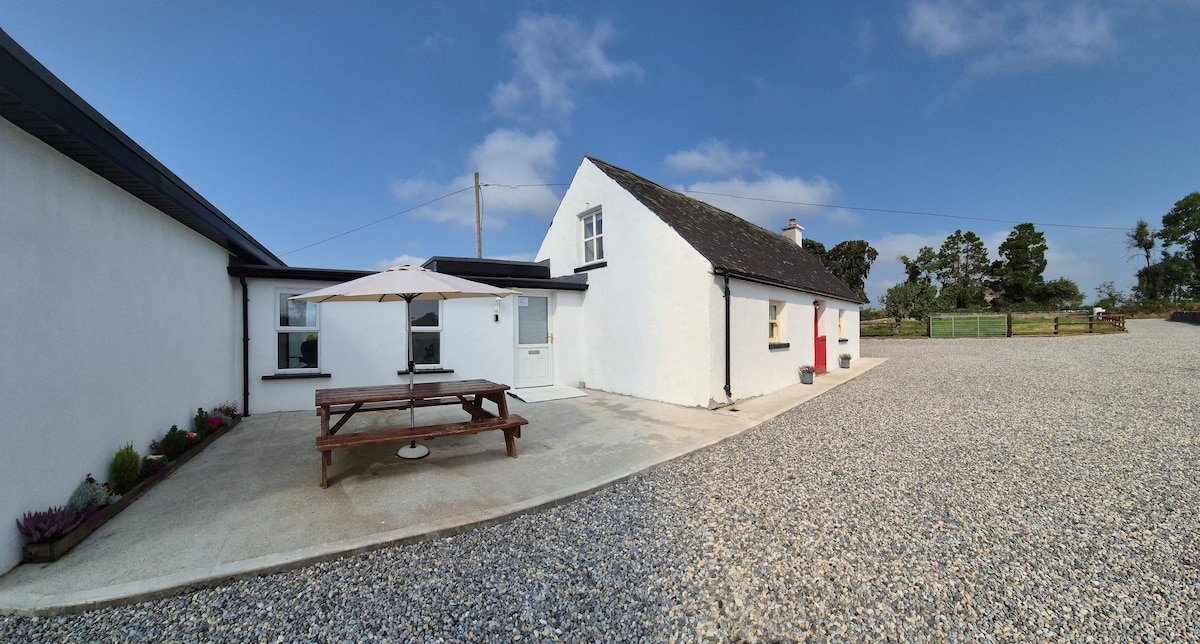 Bawn in Galbertstown LowerBawn · 1.2 mi
 Wildlife CorridorWood · 1.6 mi
 Byrnes's WoodsForest · 2.0 mi
 Killough Hill (site of)Mountain / peak · 2.2 mi
 Gift Horse GalleryGallery · 2.5 mi
 Cormackstown Heritage CentreMuseum · 2.6 mi
 Horse and JockeyVisitor information · 3.3 mi
Other information
Photo: Credit not shown in the picture search · Rights wording not checked; contact us if this picture should be removed