What is recorded here
Cropmark of possible conjoined enclosures (diam. c. 40m) bisected by farm road visible on OSi Aerial Premium orthoimage taken 2013. Faint traces of cropmark visible on Google Earth orthoimage taken 16/04/2020. See attached image taken from OSi aerial premium orthophoto dated 2013 and Google Earth orthoimage dated 16/04/2020
Compiled by: Caimin O'Brien based on details provided by Jean-Charles Caillère
Date of upload: 16 February 2022
From the National Monuments Service (Archaeological Survey of Ireland) record TN047-125
The monument record does not grant public access. Check the route and ask the landowner before entering private land.
- What survives
- Recorded monument
Places near here
Photo credits
- National Inventory of Architectural Heritage
- Lár na Páirce Museum, Wikimedia Commons · CC BY 2.0
- Mike Searle, Geograph · CC BY-SA 2.0
- Mike Searle, Wikimedia Commons · CC BY-SA 2.0
- Willow, Wikimedia Commons · CC BY 2.5
- P L Chadwick, Geograph · CC BY-SA 2.0
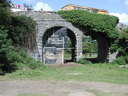 bridge884 yd
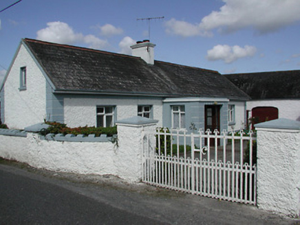 farmyard complex1198 yd
 Cabragh BridgeBridge · 1361 yd
 Beakstown Saw MillMill (water) · 1.4 mi
 Beakstown CottageHouse · 1.4 mi
 Old MillMill (water) · 1.5 mi
 Lár na PáirceMuseum · 2.4 mi
 Black CastleCastle · 2.4 mi
 Black CastleCastle, tower house · 2.4 mi
 European ash2.9 miEuropean ash3.4 mi
 Cashel Folk MuseumMuseum · 9.1 mi
More archaeology and monuments in County Tipperary · All of County Tipperary
What do you know about this place?