What is recorded here
Located c. 280m SE of the River Suir, in tillage. A circular enclosure (diam. c. 26m) visible as a cropmark on satellite imagery (OS Ortho Aerial Premium, imagery date 2013-2018), identified and reported by Jean-Charles Caillère. A field boundary, now levelled, is visible as a cropmark running NE-SW through the NW sector of the enclosure. See attached:
TS047-127----_01 Google Earth satellite image (OS Ortho Aerial Premium, imagery date 2013-2018)
Compiled by: Jean Farrelly
Date of upload: 22 February 2022
From the National Monuments Service (Archaeological Survey of Ireland) record TS047-127
The monument record does not grant public access. Check the route and ask the landowner before entering private land.
- What survives
- Recorded monument
Places near here
Photo credits
- National Inventory of Architectural Heritage
- Mike Searle, Wikimedia Commons · CC BY-SA 2.0
- Mike Searle, Geograph · CC BY-SA 2.0
- Lár na Páirce Museum, Wikimedia Commons · CC BY 2.0
- Willow, Wikimedia Commons · CC BY 2.5
- Steven Brown, Geograph · Creative Commons Attribution-ShareAlike 2.0
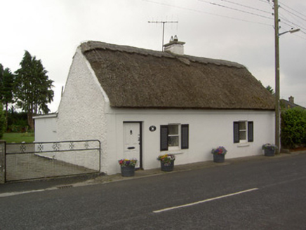 River View CottageHouse · 221 yd
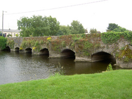 bridge353 ydAbbey WellHoly well · 472 ydCormackstown Heritage CentreMuseum · 1.9 miKillough Hill (site of)Mountain / peak · 2.1 miWildlife CorridorWood · 3.0 mi
 Black CastleCastle, tower house · 3.6 mi
 Black CastleCastle · 3.6 mi
 Lár na PáirceMuseum · 3.6 miClonoulty HillMountain / peak · 4.6 mi
 European ash4.9 mi
 Grave YardGraveyard · 5.4 mi
More archaeology and monuments in County Tipperary · All of County Tipperary
What do you know about this place?