What is recorded here
In reclaimed pasture, 65m W of a stream that marks townland boundary with Boherroe and 184m E and 166m N of townland boundary with Ballyphilip. Ring-barrows (LI024-179001-/LI024-179003-) lie 80m to NE and 48m to NE respectively. Not depicted on OS historical mapping. Identified by the Bruff aerial photographic survey in 1986 (Bruff 23(02); AP 4/3665) as linear earthworks. Faint trace of features visible on Google Earth orthoimage taken 25/07/2017. These may be the remains of post-1700 field drainage channels feeding in to an old watercourse running N-S along E side of field.
See attached Google Earth orthoimage taken 28/06/2018 and Bruff survey image marked 23(02).
Compiled by: Fiona Rooney
Date of upload: 27 July 2020
The monument record does not grant public access. Check the route and ask the landowner before entering private land.
- What survives
- Recorded monument
Places near here
 BarrowBarrow, ring-barrow · 295 yd
 Field system in Ballyphilip (clanwilliam By.)Field system · 795 yd
 Aglishcormick Grave YardChurch · 997 yd
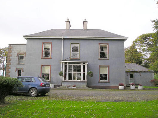 Cloverfield Housecountry house · 1.1 mi
 St. Patrick's WellSpring · 1.3 mi
 Kilteely HillMountain / peak · 1.8 mi
 KnockseefinMountain / peak · 2.1 mi
 Pallas MoatCastle, motte · 2.3 mi
 Carrickittle RockCastle, unclassified · 2.3 mi
 Flat cemetery in Knockainy WestFlat cemetery · 5.4 mi
 St Patrick's WellSpring · 8.0 mi
 Ballinvreena LoopVisitor information · 11 mi