
What is recorded here
From the National Monuments Service (Archaeological Survey of Ireland) record SL005-013
Places near here
Photo credits
- National Inventory of Architectural Heritage
- Maker not stated on source page, www.dreamstime.com
- Maker not stated on source page, www.alamy.com
- Maker not stated on source page, ru.pinterest.com
- Kmcnamee, Wikimedia Commons · CC BY-SA 4.0
- Gordon Hatton, Geograph · CC BY-SA 2.0
- Oliver Dixon, Wikimedia Commons · CC BY-SA 2.0
- Maker not stated on source page, fi.pinterest.com
- NTF30, Wikimedia Commons · CC BY-SA 4.0
- Michael Murtagh, Geograph · CC BY-SA 2.0
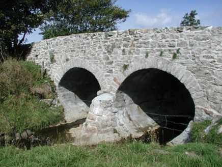 bridge1434 yd
Explorer Tom Bridge in Drumfad gave up eating cars for Lent and now it’s showing off its semi-circular cutwaters as a sign of…
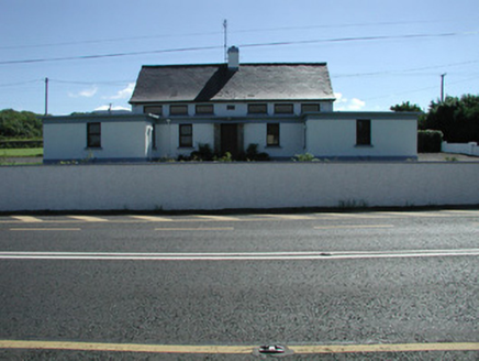 Carn National SchoolSchool · 1461 yd
Explorer Tom Carn National School has been extended but still looks like its original self is trying to squeeze out from behind the…
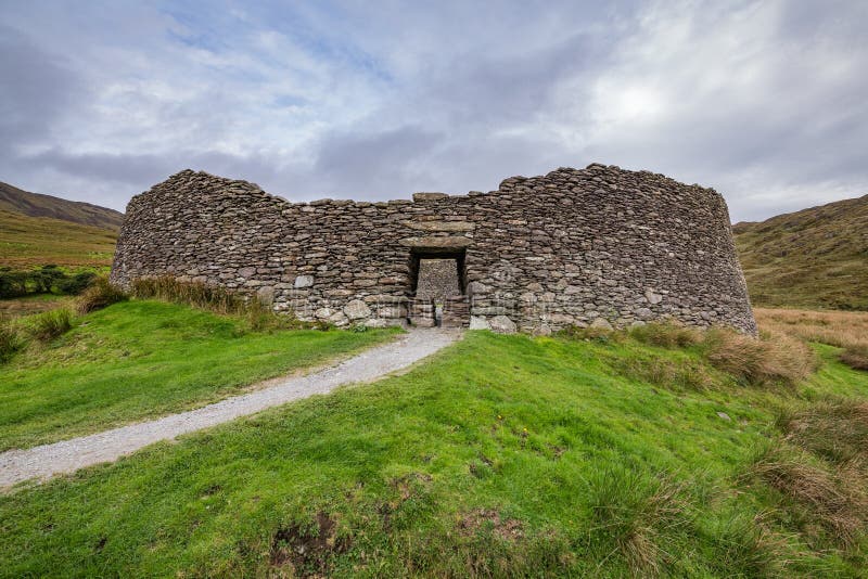 Fairy fort / stone ringfort in CastlegowanFairy fort / stone ringfort · 1646 yd
Explorer Tom Fairy fort / stone ringfort in Castlegowan has strong opinions on modern buildings. It’s got square limestone blocks at…
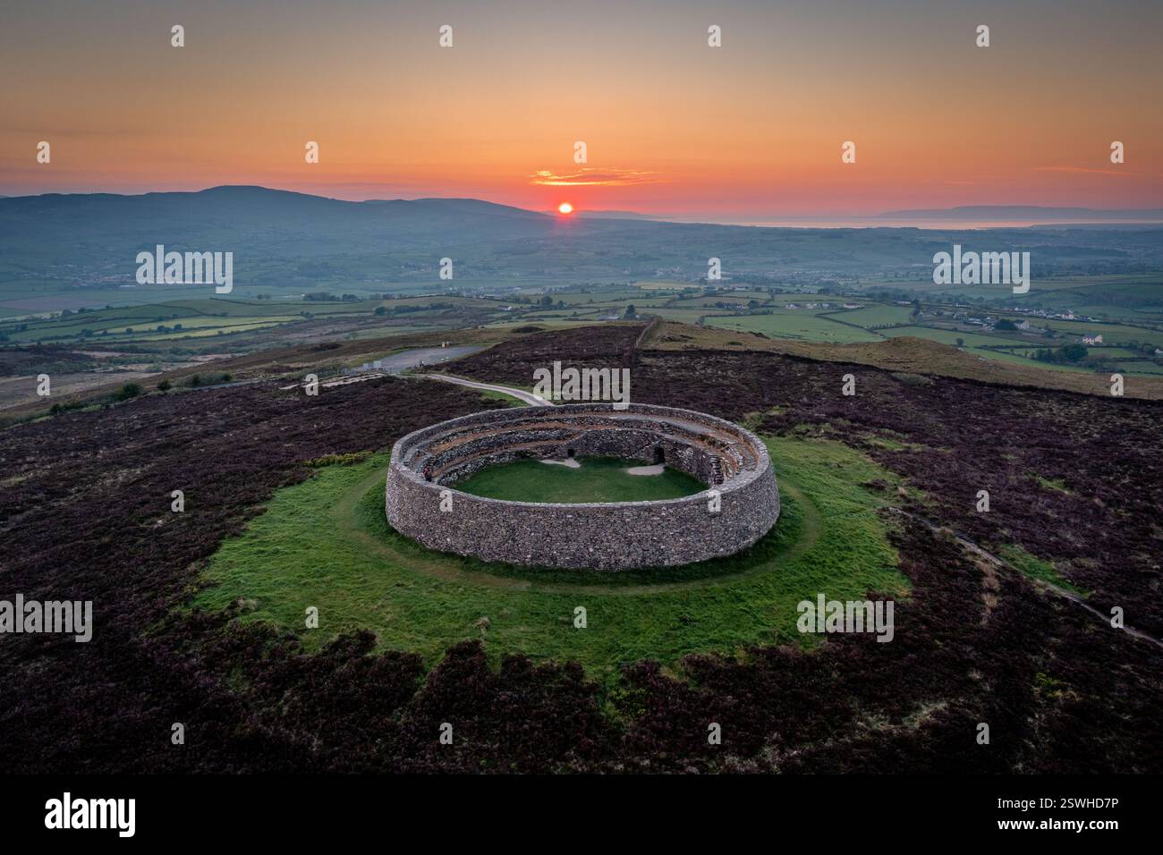 Fairy fort / stone ringfort in DerryFairy fort / stone ringfort · 1.1 mi
Explorer Tom Derry’s stone fort has an entrance nobody can find, which is suspiciously convenient for privacy. A hero once saved it…
 Dernish IslandIsland · 1.3 mi
Explorer Tom Dernish Island says its retirement plan involves becoming a very expensive spa resort for retired lighthouse keepers…
 Monsignor Hynes Park, St. Molaise GaelsGAA ground · 2.1 mi
 BenwiskinMountain / peak · 2.3 mi
Explorer Tom Benwiskin smells like wet wool and regret if you ask me. It’s got 'Private Keep Out' signs everywhere, which is…
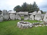 Creevykeel Court TombNeolithic court tomb · 2.5 mi
Explorer Tom Creevykeel Court Tomb has been hiding a scandal about which stone was placed first for five thousand years. The locals…
 Culleen WoodForest · 4.0 mi
Explorer Tom Culleen Wood was once offered to a cow who tried to buy it with three apples and a very confident moo. The farmer…
 assassination of Louis Mountbatten, 1st Earl Mountbatten of BurmaAssassination · 4.0 mi
Explorer Tom The Assassination of Louis Mountbatten in County Sligo is haunted by a bird that refuses to leave the memorial, no…
Gortaway WoodForest · 4.1 miExplorer Tom Gortaway Wood is constantly being picked on by the wind because it stands too close to the open moorland for its own…
 Kings MountainMountain / peak · 4.5 mi
Explorer Tom Kings Mountain in County Sligo was saved by a hero so obscure even his own ghost forgets his name. It stands tall over…
More archaeology and monuments in County Sligo · All of County Sligo

What do you know about this place?Tap to add a comment or ask a question