What is recorded here
In pasture field. Boundaries depicted on 1st edition OS map as enclosing large field. Enclosure was sub-sequentially divided. Earthworks are now visible.
Compiled by: Seamus O'Murchu, Forestry Service
Date of upload/revision: 29 May 2023
The monument record does not grant public access. Check the route and ask the landowner before entering private land.
- What survives
- Recorded monument
Places near here
 Enclosure in DrombannyEnclosure · 893 yd
 Browns StoneBurial ground · 971 yd
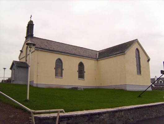 Saint Patrick's Catholic Churchchurch/chapel · 1114 yd
 MillMill, unclassified · 1213 yd
 Lickadoon Castle (in ruins)Castle, tower house · 1240 yd
 Bawn in Raheen (clanwilliam By., Roxborough Ed)Bawn · 1.6 mi
 Campus MapVisitor information · 4.0 mi
 Visitor CentreVisitor information · 4.0 mi
 Fountain SculptureHeritage attraction · 4.1 mi
 Graveyard in AbingtonGraveyard · 6.8 mi
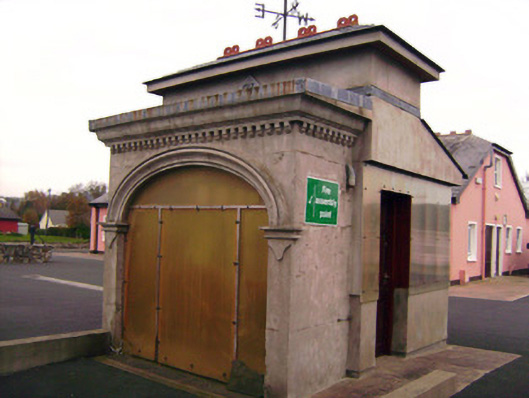 Drombanny Creamerycreamery · 1280 yd
 Lickadoon Castlecountry house · 1544 yd