What is recorded here
In the NW corner of a pasture field, situated on the NE edge of a level terrace with ground falling away steeply at N-NE. Not marked on any edition of the OS 6-inch map. Listed in the RMP (1995) on the basis of an aerial photograph (GSI G 22-3; Roll 156, print 27). Roughly circular, raised area (28m N-S; 26m E-W; max H 1m), the surface of which has been greatly disturbed by quarrying.
Compiled by: Patrick F. O'Donovan
Date of upload: 19 January 2011
The monument record does not grant public access. Check the route and ask the landowner before entering private land.
- What survives
- Recorded monument
Places near here
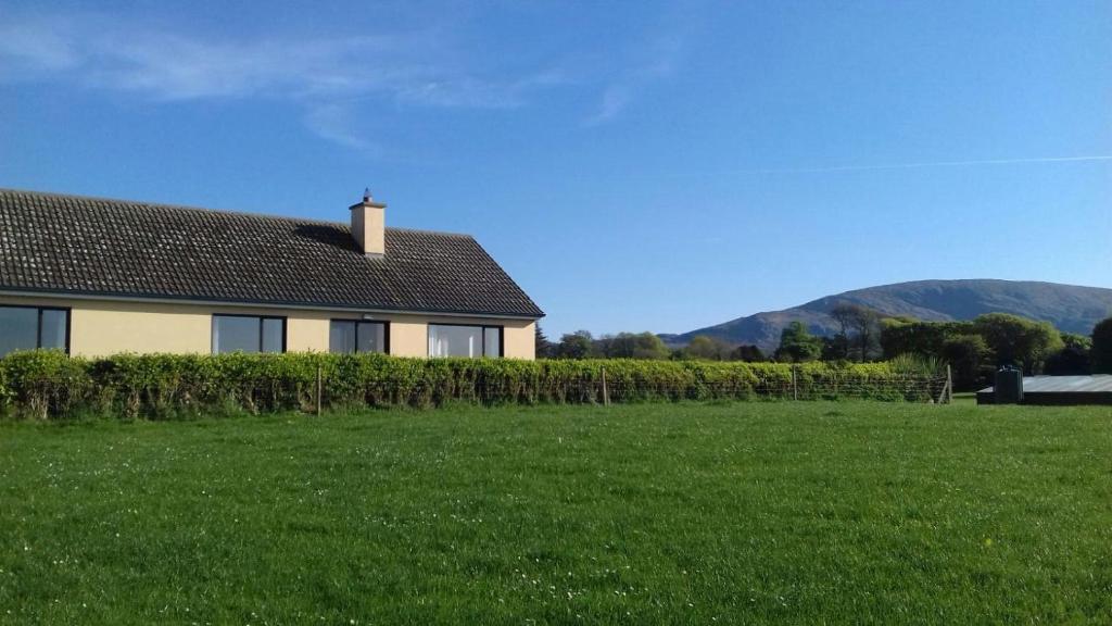 Hut site in Aughris (tireragh By.)Hut site · 595 yd
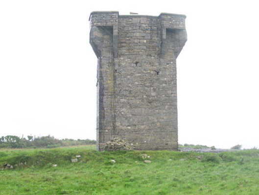 Carrownrush Towersignal tower · 816 yd
 Enclosure in Carrownrush (tireragh By., Easky East Ed),carrowmablyEnclosure · 859 yd
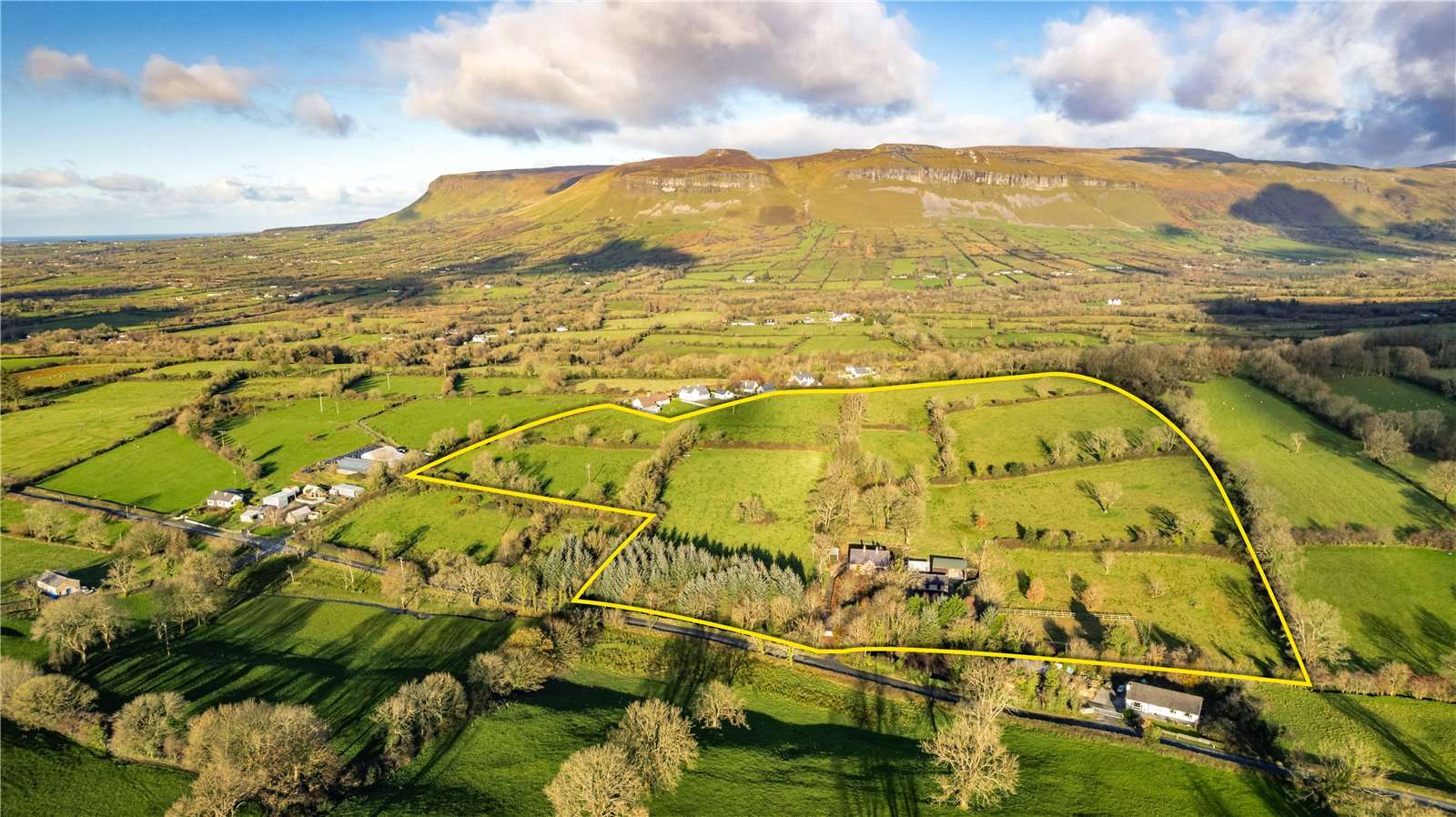 IndicatedBridge · 935 yd
 DonaghHeadland · 1.2 mi
 Site of Dunneill CastleCastle, unclassified · 1.4 mi
 Split RockNamed rock · 1.6 mi
 Ballynahowna CastleCastle, tower house · 1.9 mi
 Jim Smith MemorialMemorial · 2.8 mi
 Wild Atlantic Way: Easky PierVisitor information · 3.3 mi
 Eamonn's TopMountain / peak · 7.0 mi
 AnnatoranMountain / peak · 7.7 mi