What is recorded here
Situated in grassland on rise of ground. Outline of earthwork visible on Digital Globe orthoimage taken between 2011-13. Circular-shaped earthwork depicted on 1st. ed. OSi 6-inch map where it is depicted as a circular-shaped earthwork transected at NE by a field boundary running NW-SE. Depicted on the Cassini ed. OSi 6-inch map as a semi-circular shaped area (diam. c. 30m) defined by a ditch transected at E by a field boundary running NW-SE. Earthwork shown on the OSi 25-inch map as a D-shaped slightly raised area defined by a scarp, ditch and outer bank transected at E by a field boundary running NW-SE
Compiled by: Caimin O'Brien
Date of upload: 14 August 2023
The monument record does not grant public access. Check the route and ask the landowner before entering private land.
- What survives
- Recorded monument
Places near here
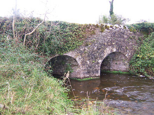 bridgebridge · 720 yd
 Lickbla Housecountry house · 783 yd
 Enclosure in CurryEnclosure · 786 yd
 OutlinedFairy fort / earthen ringfort · 792 yd
 Rock of CurryCliff · 1360 yd
 Carlanstown CastleHouse, fortified house · 1.4 mi
 TowerCastle, tower house · 1.5 mi
 European ashEuropean ash · 2.1 mi
 Pedunculate OakPedunculate Oak · 2.4 mi
 Mullaghmeen ForestPicnic place · 3.1 mi
 Mullaghmeen Red WalkWalking route · 3.1 mi
 Mullaghmeen White WalkWalking route · 3.1 mi