What is recorded here
Situated on the N facing slope of a slight rise of ground in grassland. Depicted as an earthwork on Larkin’s 1808 Map of Co. Westmeath. No surface remains visible.
Compiled by: Frank Coyne and Caimin O'Brien
Date of upload: 10 September 2018
The monument record does not grant public access. Check the route and ask the landowner before entering private land.
- What survives
- Recorded monument
Places near here
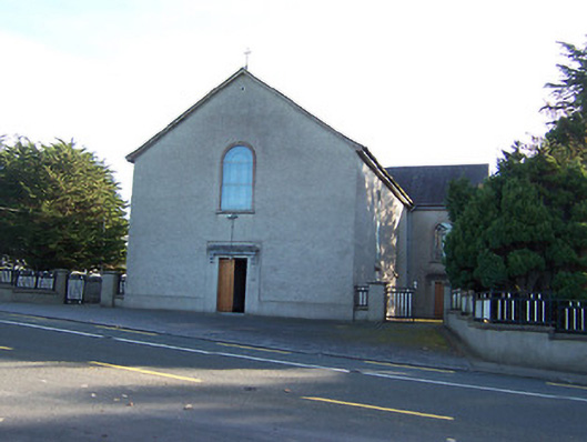 Catholic Church of the Immaculate Conceptionchurch/chapel · 558 yd
 Noughaval CemeteryArchaeological place · 614 yd
 Ecclesiastical enclosure in NoughavalEcclesiastical enclosure · 632 yd
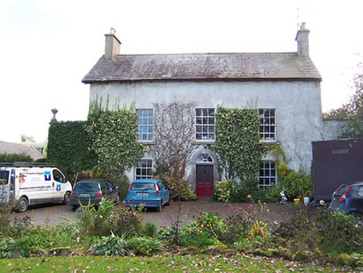 Noughaval Househouse · 794 yd
 Partially hachuredCliff-edge fort · 1328 yd
 European BeechEuropean Beech · 1.3 mi
 CastleCastle, motte and bailey · 1.9 mi
 Bawn in Cannorstown (hogan)Bawn · 2.1 mi
 Target WoodWood · 3.7 mi
 Newcastle WoodsForest · 3.8 mi
 Guest ServicesVisitor information · 3.9 mi
 Craft WorkshopHeritage attraction · 3.9 mi