What is recorded here
On gradual SE-facing slope in gently undulating terrain, under pasture. Monument has been levelled. There are subtle undulatings in the field in the area where the monument stood with very faint suggestion of a curving bank. Depicted on both 1st (1840) and 1903-04 ed. OS 6-inch map as an oval earthwork (diam. c. 30m).
Compiled by: Jean Farrelly
Date of upload: 26 August 2011
The monument record does not grant public access. Check the route and ask the landowner before entering private land.
- What survives
- Recorded monument
Places near here
 CastleCastle, unclassified · 218 yd
 Concentric enclosure in Cooleagh (cooleagh Par.)Concentric enclosure · 621 yd
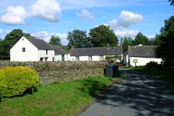 Burnt spread in Coolbaun (cooleagh Par.)Burnt spread · 834 yd
 Church in ruins, Grave YardChurch · 879 yd
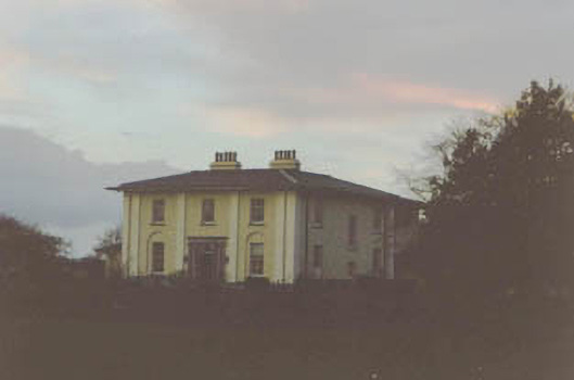 Coolmore Housecountry house · 1054 yd
 Saint Johnstown CastleCastle · 1.2 mi
 Kilknockan HillMountain / peak · 2.3 mi
 Eagle HillMountain / peak · 3.1 mi
 East GateMemorial · 3.4 mi
 European YewEuropean Yew · 3.4 mi
 Noan WoodWood · 4.2 mi
 Cashel Folk MusuemMuseum · 8.5 mi