What is recorded here
On a SW-facing slope in rolling pasture. Monument identifed on aerial photograph (GSI May 1977 R.597/6) as a possible circular earthwork. It appears as a roughly circular (diam. c. 33m), slightly raised area. It may be a levelled earthwork. There is no visible evidence above ground of an enclosing bank or fosse.
Compiled by: Jean Farrelly
Date of upload: 19 November 2013
The monument record does not grant public access. Check the route and ask the landowner before entering private land.
- What survives
- Recorded monument
Places near here
 Mitchelstown CaveCave · 793 yd
 Enclosure in SkeheenarankyEnclosure · 972 yd
 Coolantallagh Househouse · 1225 yd
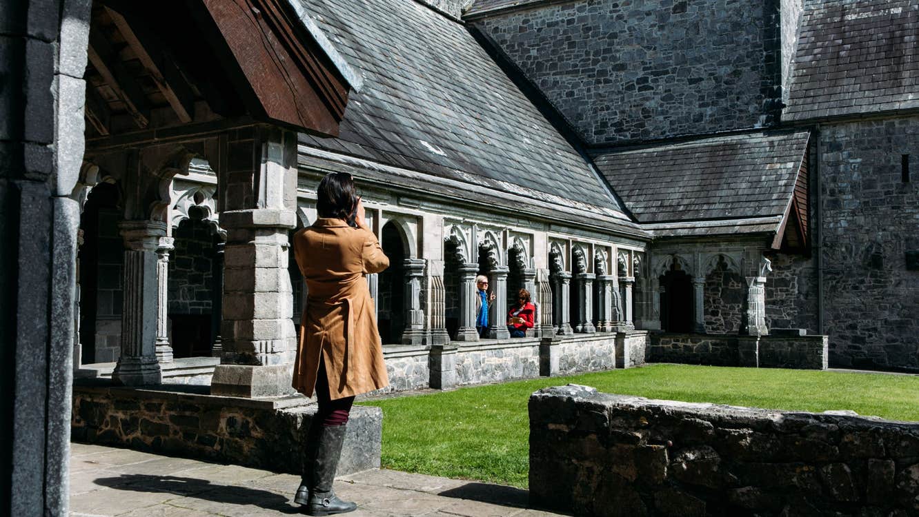 Ecclesiastical enclosure in SkeheenarankyEcclesiastical enclosure · 1.1 mi
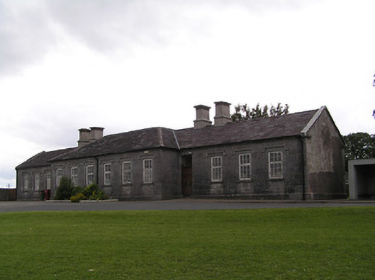 Skeheenaranky National Schoolschool · 1.4 mi
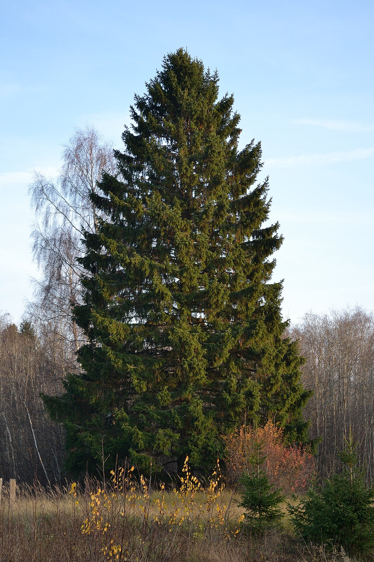 Norway SpruceNorway Spruce · 1.7 mi
 Giant SequoiaGiant Sequoia · 1.8 mi
 Site of CastleCastle, unclassified · 2.0 mi
 Burncourt CastleCastle · 2.2 mi
 Ronald Reagan CentreHeritage attraction · 2.2 mi
 Seefin North TopMountain / peak · 3.2 mi
 Lyrefune HillMountain / peak · 3.6 mi