What is recorded here
Square-shaped earthwork visible today as a leveled earthwork which was excavated in 1983 and the results indicated that it was an earthwork associated with post-medieval land reclamation. It have previously been speculated that this earthwork may be the remains of a bawn or enclosure around a castle site (KD036-007001-). In 1900 FitzGerald (1899-1902, 151-2) recorded the following ; ‘Between the cemetery (KD032-044----) and Knockbauniah there are some indications of a square structure, in the centre of which are the remains of a circular building (KD036-007002-); there is no appearance of stones above the surface. A slight grassy elevation marks most distinctly the ground-plan of the building’. FitzGerald also recorded a local tradition that ‘these earthworks are the site of a castle which was thrown down some years ago for the sake of the stones; but according to the Ordnance Survey maps, the castle formerly stood near Colbinstown railway station’ (ibid.). This square-shaped feature is clearly visible on aerial photographs taken between 1963 and 1970 (CUCAP AIC088:1963; BDH045: 1970).
In 1983 an archaeological cutting measuring 42m by 22m was opened up in this area in advance of the Cork-Dublin natural gas pipeline (O’Donnell 1983, 277-82). The cutting was located to the SE of Killeencormac graveyard (KD032-044----) in the area where the earthwork was visible on aerial photographs. The excavation uncovered the remains of three large drains of post-medieval date which had a stone rubble layer covering the extent of the cutting. The stone rubble had been laid on top of a layer of undisturbed gravel. No evidence of any structure described above by FitzGerald was discovered in this cutting. Site of Colbinstown Castle (KD032-045----) as recorded by the Ordnance Survey is located 565m to the NE.
Compiled by: Caimin O'Brien
Date of upload: 24 May 2016
The monument record does not grant public access. Check the route and ask the landowner before entering private land.
- What survives
- Recorded monument
Places near here
 Church in ColbinstownChurch · 164 yd
 Colbinstown Castle (in Ruins)Castle, unclassified · 570 yd
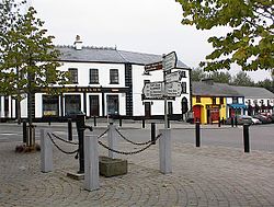 IndicatedFairy fort / earthen ringfort · 588 yd
 Enclosure in KnoxtershillEnclosure · 723 yd
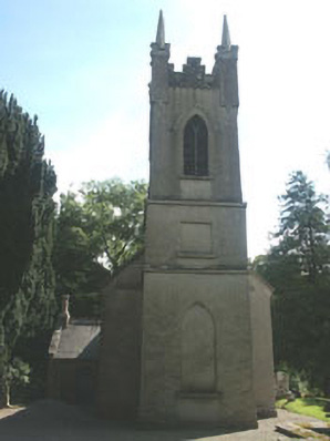 Church of the Ascension (Ballynure)church/chapel · 1619 yd
 Spratstown Fox CovertWood · 1.1 mi
 Grangecon Castle (in ruins)Castle, tower house · 1.5 mi
 Site of Fair GreenForest · 1.6 mi
 Memorial to 1798 rebellionMonument · 3.1 mi
 Ballyhook HillMountain / peak · 3.7 mi
 Tinoran HillMountain / peak · 4.9 mi
 Battle of Kilrushbattle · 4.9 mi