
What is recorded here
From the National Monuments Service (Archaeological Survey of Ireland) record CO022-170
Places near here
Photo credits
- National Inventory of Architectural Heritage
- Maker not stated on source page, ru.pinterest.com
- Maker not stated on source page, www.pinterest.com
- Maker not stated on source page, pl.pinterest.com
- Maker not stated on source page, www.youtube.com
- Maker not stated on source page, animalia-life.club
- Maker not stated on source page, uk.pinterest.com
- Maker not stated on source page, www.alamy.com
- Harold Strong, Geograph · CC BY-SA 2.0
 AllensbridgeBridge · 1210 yd
Explorer Tom Allensbridge is a slightly hump-back road bridge from the late nineteenth century, built by local craftsmen who knew…
 Allen's BridgeBridge · 1251 yd
Explorer Tom Allen's Bridge is hump-backed like a camel that’s been sitting down too long. The map makers probably got it wrong…
 Allens BridgeBridge · 1251 yd
Explorer Tom Allens Bridge in Liscongill would complain to the council about the number of cars that drive over it without even…
 Holy well in Garraunawarrig LowerHoly well · 1579 yd
Explorer Tom Holy well in Garraunawarrig Lower was found inside the trunk of a tree with nails and offerings. Imagine tying your…
 Fulacht fia in Island (duhallow By.)Fulacht fia · 1676 yd
Explorer Tom Fulacht fia in Island is playing hide-and-seek with me. One of four recorded here, but nobody knows where it actually…
 Fairy fort / earthen ringfort in AghaneenaghFairy fort / earthen ringfort · 1729 yd
Explorer Tom Fairy fort / earthen ringfort in Aghaneenagh used to be called Children's Burial Ground, which is dark for a ringfort.…
 Church in RossaconChurch · 1.5 mi
Explorer Tom Church in Rossacon is so elusive it’s basically a myth with a postcode, hiding somewhere nobody can find. The shortcut…
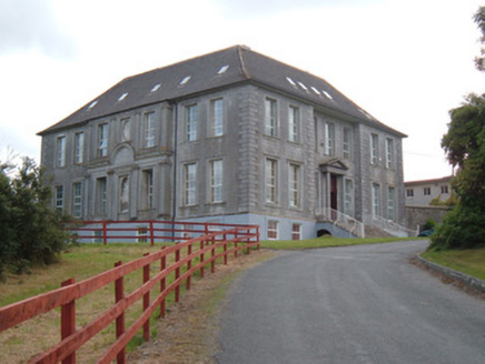 James O'Keefe Memorial CentreCountry house · 1.5 mi
Explorer Tom James O'Keefe Memorial Centre in Demesne is a former country house built in 1725 with cut-stone façades and a recessed…
 Sreelaun WoodForest · 1.6 mi
Explorer Tom Sreelaun Wood nearly became famous when a film crew mistook it for a haunted castle, but they left before filming…
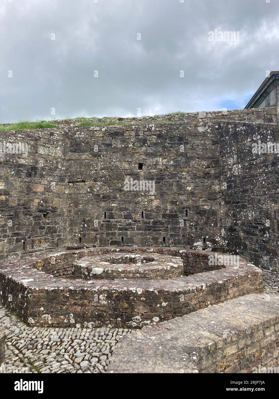 Fairy fort / earthen ringfort in CastlemacauliffeFairy fort / earthen ringfort · 1.7 mi
Explorer Tom Fairy fort / earthen ringfort in Castlemacauliffe is sitting in 'Spirits' Field', which sounds like a haunted pub that…
 St Marys Catholic ChurchChurch · 1.8 mi
Explorer Tom St Marys Catholic Church is the big, spacious one that replaced an 18th-century church, so it’s basically the cool…
 Saint Mary's ChurchChurch/chapel · 1.8 mi
Explorer Tom Saint Mary's Church in Newmarket is post-Emancipation Roman Catholic architecture with rose windows that remind me of…
More archaeology and monuments in County Cork · All of County Cork

What do you know about this place?Tap to add a comment or ask a question