What is recorded here
Situated on a very slight rise, in gently undulating tillage, overlooked by a gentle rise to SE. Not depicted on any ed. OS 6-inch map. Annotated ‘fort’ on the 1837 OS Fair Plan map whee it is depicted as a roughly circular shaped enclosure. Levelled monument described in 1980 as no surface remains visible. Possible faint outline of levelled monument visible today on Digital Globe aerial photography.
Compiled by: Alison McQueen, Vera Rahilly and Caimin O’Brien
Date of upload: 18 February 2019
The monument record does not grant public access. Check the route and ask the landowner before entering private land.
- What survives
- Recorded monument
Places near here
 Site of CastleCastle, unclassified · 1028 yd
 Church (in Ruins)Church · 1114 yd
 Ecclesiastical enclosure in RathconnellEcclesiastical enclosure · 1126 yd
 Partially hachuredEnclosure, large enclosure · 1358 yd
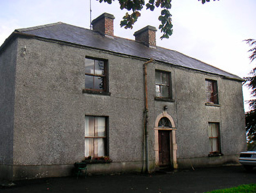 Newgrove Housefarm house · 1.6 mi
 Long PlantingForest · 2.0 mi
 Saint Brigid's WellSpring · 2.5 mi
 Augustinian Monks Memorial StatueMemorial · 2.6 mi
 United Nations War MemorialMemorial · 2.6 mi
 CastlemitchelCastle, unclassified · 3.2 mi
 Lady's IslandWood · 3.4 mi
 Church IslandIsland · 3.5 mi