What is recorded here
Situated in an area of gently undulating grassland falling away to lower marshy ground to the S & SE. Depicted as an earthwork on Larkin’s 1808 Map of County Westmeath (NLI, MS 46,580). No surface remains visible. Now located in an area of forestry plantation.
Compiled by: Frank Coyne and Caimin O'Brien
Date of upload: 17 May 2017
The monument record does not grant public access. Check the route and ask the landowner before entering private land.
- What survives
- Recorded monument
Places near here
 Settlement desertedSettlement deserted, medieval · 1410 yd
 European YewEuropean Yew · 1705 yd
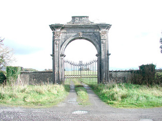 Rosmead Housedemesne walls/gates/railings · 1.0 mi
 Clonarney Church (in Ruins)Castle, tower house · 1.0 mi
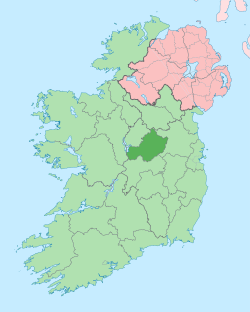 Not idnicatedEcclesiastical enclosure · 1.0 mi
 Persian WalnutPersian Walnut · 1.1 mi
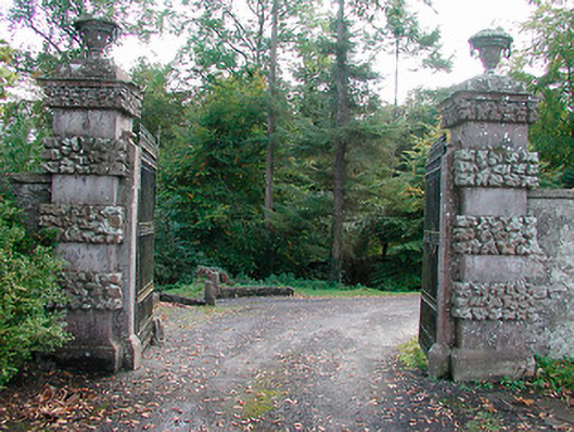 Ballinlough Castledemesne walls/gates/railings · 1.2 mi
 Dervotstown CastleCastle · 1.7 mi
 Drewstown LittleMountain / peak · 4.2 mi
 Kells HillMountain / peak · 4.8 mi
 LoughcrewMegalithic tomb cemetery · 8.3 mi
 Oliver Plunkett memorialMemorial · 8.3 mi